Pala night lights from space
Night Light of Pala (Mayo-Kebbi Ouest) from space (Chad) Src. Average luminocity for 10x10km area is 0.4372% and for 50x50km: 0.0172%.

Analysis of Pala night lights 2016
Square area 10x10 km:
 0%
0%90-99
0%80-89
0%70-79
0%60-69
0%50-59
0%40-49
0.87%30-39
0%20-29
0%10-19
0%0-9
99.13%Square area 50x50 km:
0%90-99
0%80-89
0%70-79
0%60-69
0%50-59
0%40-49
0.03%30-39
0%20-29
0%10-19
0%0-9
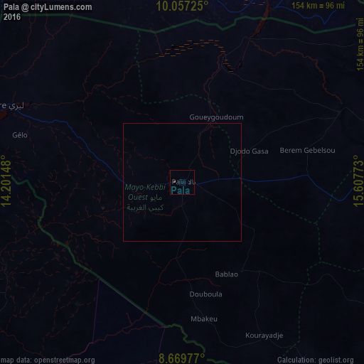
99.97%Clear (daylight) street map image can be seen on geolist.org.
Map coordinates:
10° 3' 26.1" North, 14° 12' 5.3" East
9° 21' 51.1" North, 14° 54' 16.6" East
8° 40' 11.2" North, 15° 36' 27.8" East
Some cities around Pala sort by population:
• Yagoua, CM
114.4 km =71.1 mi,  18°
18°
• Kelo
99.2 km =61.6 mi,  93°
93°
• Bongor
114 km =70.8 mi,  26°
26°
• Kaélé, CM
96.6 km =60 mi,  329°
329°
• Mboursou Léré
93.5 km =58.1 mi,  298°
298°
• Rey Bouba, CM
110.8 km =68.8 mi,  226°
226°
• Gounou Gaya
73 km =45.4 mi,  66°
66°
• Beïnamar
93.3 km =58 mi,  145°
145°
2426240 (p: 35,466)
Sources (retrieved 2019-11-25):
» Earth at Night: Flat Maps 2012, 2016