San Sebastián night lights from space
Night Light of San Sebastián (San Vicente) from space (El Salvador) Src. Average luminocity for 10x10km area is 1.2541% and for 50x50km: 1.953%.
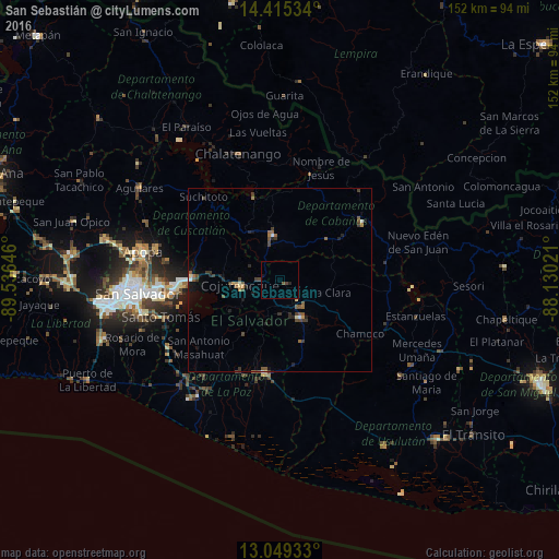
Analysis of San Sebastián night lights 2016
Square area 10x10 km:
 0%
0%90-99
0%80-89
0%70-79
0%60-69
0%50-59
0.41%40-49
1.03%30-39
0.21%20-29
0.83%10-19
0.83%0-9
96.69%Square area 50x50 km:
0.08%90-99
0.09%80-89
0.17%70-79
0.11%60-69
0.28%50-59
0.63%40-49
0.42%30-39
0.61%20-29
0.5%10-19
0.84%0-9
96.25%Clear (daylight) street map image can be seen on geolist.org.
Map coordinates:
14° 24' 55.2" North, 89° 32' 11.3" West
13° 43' 60" North, 88° 49' 60" West
13° 2' 57.6" North, 88° 7' 48.8" West
Some cities around San Sebastián sort by population:
• Cojutepeque
11 km =6.8 mi,  260°
260°
• San Vicente
11.7 km =7.3 mi,  162°
162°
• Zacatecoluca
26.2 km =16.3 mi,  187°
187°
• San Martín
10.6 km =6.6 mi,  301°
301°
• Ilopango
30 km =18.6 mi, 263°
• Sensuntepeque
26.2 km =16.3 mi,  55°
55°
• Santiago Nonualco
27.2 km =16.9 mi,  207°
207°
• Apastepeque
9.2 km =5.7 mi,  143°
143°
3583352 (p: 7,333)
Sources (retrieved 2019-11-25):
» Earth at Night: Flat Maps 2012, 2016