Ilopango night lights from space
Night Light of Ilopango (San Salvador) from space (El Salvador) Src. Average luminocity for 10x10km area is 52.0289% and for 50x50km: 13.838%.
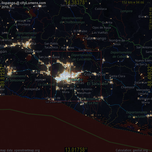
Analysis of Ilopango night lights 2016
Square area 10x10 km:
 7.85%
7.85%90-99
15.08%80-89
9.09%70-79
3.51%60-69
4.55%50-59
7.44%40-49
6.82%30-39
4.96%20-29
20.04%10-19
15.91%0-9
4.75%Square area 50x50 km:
2.22%90-99
2.6%80-89
1.45%70-79
0.99%60-69
1.48%50-59
2%40-49
2.25%30-39
2.65%20-29
4.16%10-19
8.52%0-9
71.69%Clear (daylight) street map image can be seen on geolist.org.
Map coordinates:
14° 23' 1.6" North, 89° 48' 45.3" West
13° 42' 6" North, 89° 6' 34" West
13° 1' 3.3" North, 88° 24' 22.8" West
Some cities around Ilopango sort by population:
• San Salvador
8.5 km =5.3 mi,  260°
260°
• Soyapango
3.4 km =2.1 mi,  286°
286°
• Delgado
7 km =4.3 mi, 290°
• San Marcos
9.3 km =5.8 mi,  239°
239°
• Cuscatancingo
8.7 km =5.4 mi,  296°
296°
• Ayutuxtepeque
11.6 km =7.2 mi, 294°
• Santo Tomás
7.2 km =4.5 mi,  200°
200°
• Tonacatepeque
8.9 km =5.5 mi,  353°
353°
3585484 (p: 38,890)
Sources (retrieved 2019-11-25):
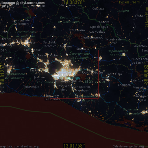
» Earth at Night: Flat Maps 2012, 2016