Quezaltepeque night lights from space
Night Light of Quezaltepeque (La Libertad) from space (El Salvador) Src. Average luminocity for 10x10km area is 18.2583% and for 50x50km: 15.1351%.
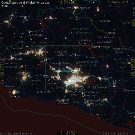
Analysis of Quezaltepeque night lights 2016
Square area 10x10 km:
 0%
0%90-99
0.41%80-89
5.17%70-79
1.86%60-69
3.93%50-59
2.07%40-49
1.86%30-39
4.75%20-29
3.1%10-19
15.91%0-9
60.95%Square area 50x50 km:
2.25%90-99
2.72%80-89
1.84%70-79
1.14%60-69
1.74%50-59
2.5%40-49
2.07%30-39
2.7%20-29
4.26%10-19
10.6%0-9
68.19%Clear (daylight) street map image can be seen on geolist.org.
Map coordinates:
14° 30' 46.7" North, 89° 58' 31.2" West
13° 49' 52.5" North, 89° 16' 20" West
13° 8' 51.1" North, 88° 34' 8.7" West
Some cities around Quezaltepeque sort by population:
• Mejicanos
12 km =7.5 mi,  147°
147°
• Apopa
10.4 km =6.5 mi,  104°
104°
• Delgado
16.2 km =10.1 mi,  137°
137°
• Cuscatancingo
14.4 km =8.9 mi, 137°
• Ayutuxtepeque
11.9 km =7.4 mi, 143°
• Aguilares
16.6 km =10.3 mi,  32°
32°
• Guazapa
11.8 km =7.3 mi,  64°
64°
• San Juan Opico
10.7 km =6.6 mi,  297°
297°
3583981 (p: 28,886)
Sources (retrieved 2019-11-25):
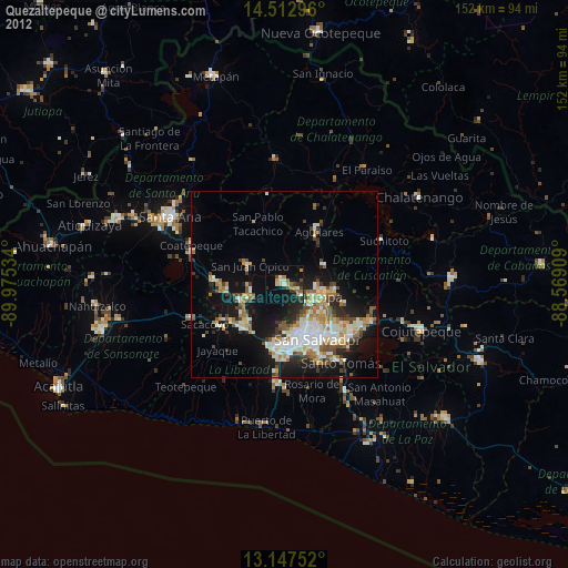
» Earth at Night: Flat Maps 2012, 2016