Cuscatancingo night lights from space
Night Light of Cuscatancingo (San Salvador) from space (El Salvador) Src. Average luminocity for 10x10km area is 72.3161% and for 50x50km: 14.8365%.
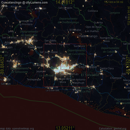
Analysis of Cuscatancingo night lights 2016
Square area 10x10 km:
 23.55%
90-99
23.76%80-89
4.13%70-79
2.27%60-69
7.23%50-59
12.19%40-49
8.06%30-39
8.68%20-29
9.92%10-19
0.21%0-9
0%Square area 50x50 km:
2.27%90-99
2.7%80-89
1.69%70-79
1.12%60-69
1.69%50-59
2.27%40-49
2.14%30-39
2.61%20-29
4.36%10-19
10.28%0-9
68.85%Clear (daylight) street map image can be seen on geolist.org.
Map coordinates:
14° 25' 5.2" North, 89° 53' 4.3" West
13° 44' 10" North, 89° 10' 53" West
13° 3' 7.6" North, 88° 28' 41.8" West
Some cities around Cuscatancingo sort by population:
• San Salvador
5.2 km =3.2 mi,  186°
186°
• Soyapango
5.3 km =3.3 mi,  122°
122°
• Mejicanos
3.5 km =2.2 mi,  277°
277°
• Apopa
7.9 km =4.9 mi,  1°
1°
• Delgado
1.8 km =1.1 mi,  137°
137°
• San Marcos
8.6 km =5.3 mi,  181°
181°
• Ayutuxtepeque
2.9 km =1.8 mi,  291°
291°
• Tonacatepeque
8.4 km =5.2 mi,  53°
53°
3586833 (p: 44,369)
Sources (retrieved 2019-11-25):
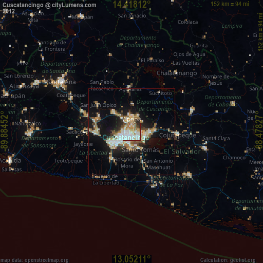
» Earth at Night: Flat Maps 2012, 2016