Yirol night lights from space
Night Light of Yirol (Eastern Lakes) from space (South Sudan) Src. Average luminocity for 10x10km area is 0% and for 50x50km: 0%.
Analysis of Yirol night lights 2016
Square area 10x10 km:
 0%
0%90-99
0%80-89
0%70-79
0%60-69
0%50-59
0%40-49
0%30-39
0%20-29
0%10-19
0%0-9
100%Square area 50x50 km:
0%90-99
0%80-89
0%70-79
0%60-69
0%50-59
0%40-49
0%30-39
0%20-29
0%10-19
0%0-9
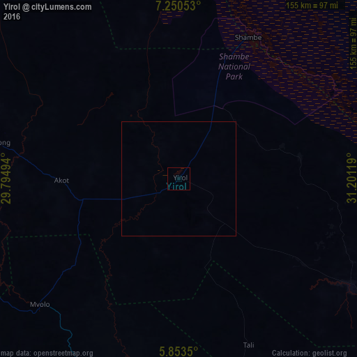
100%Clear (daylight) street map image can be seen on geolist.org.
Map coordinates:
7° 15' 1.9" North, 29° 47' 41.8" East
6° 33' 9" North, 30° 29' 53" East
5° 51' 12.6" North, 31° 12' 4.3" East
Some cities around Yirol sort by population:
• Rumbek
94.9 km =59 mi,  287°
287°
• Bor
123.3 km =76.6 mi,  108°
108°
• Maridi
214.6 km =133.3 mi,  212°
212°
• Leer
198.6 km =123.4 mi,  348°
348°
• Ayod
201.4 km =125.1 mi,  29°
29°
• Terekeka
185.4 km =115.2 mi,  131°
131°
• Cueibet
147.9 km =91.9 mi, 290°
• Mundri
135.4 km =84.1 mi,  188°
188°
363594 (p: 0)
Sources (retrieved 2019-11-25):
» Earth at Night: Flat Maps 2012, 2016