Terekeka night lights from space
Night Light of Terekeka from space (South Sudan) Src. Average luminocity for 10x10km area is 0% and for 50x50km: 0%.
Analysis of Terekeka night lights 2016
Square area 10x10 km:
100  0%
0%
90-99 0%
80-89 0%
70-79 0%
60-69 0%
50-59 0%
40-49 0%
30-39 0%
20-29 0%
10-19 0%
0-9 100%
0%90-99
0%80-89
0%70-79
0%60-69
0%50-59
0%40-49
0%30-39
0%20-29
0%10-19
0%0-9
100%Square area 50x50 km:
100 0%
90-99 0%
80-89 0%
70-79 0%
60-69 0%
50-59 0%
40-49 0%
30-39 0%
20-29 0%
10-19 0%
0-9 100%
0%90-99
0%80-89
0%70-79
0%60-69
0%50-59
0%40-49
0%30-39
0%20-29
0%10-19
0%0-9
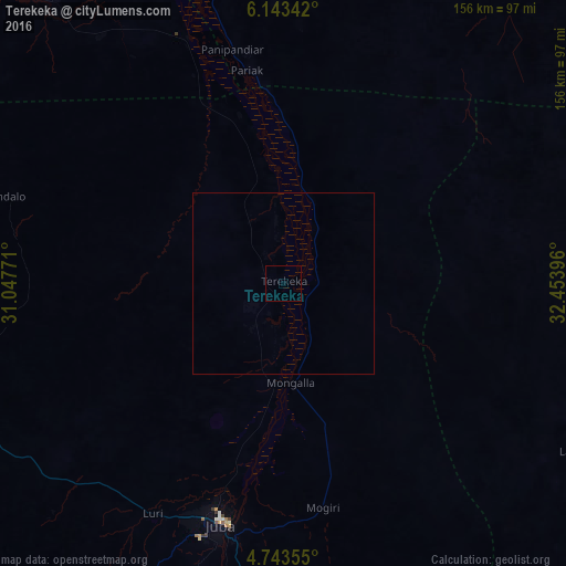
100%Clear (daylight) street map image can be seen on geolist.org.
Map coordinates:
6° 8' 36.3" North, 31° 2' 51.8" East
5° 26' 38" North, 31° 45' 3" East
4° 44' 36.8" North, 32° 27' 14.3" East
Some cities around Terekeka sort by population:
• Juba
68.4 km =42.5 mi,  195°
195°
• Pajok
193.3 km =120.1 mi,  155°
155°
• Yei
191.5 km =119 mi,  218°
218°
• Bor
87.7 km =54.5 mi,  345°
345°
• Torit
146.3 km =90.9 mi,  141°
141°
• Moyo, UG
198.3 km =123.2 mi,  180°
180°
• Yirol
185.4 km =115.2 mi,  311°
311°
• Mundri
158.3 km =98.4 mi,  266°
266°
366167 (p: 0)
Sources (retrieved 2019-11-25):
» Earth at Night: Flat Maps 2012, 2016