Mundri night lights from space
Night Light of Mundri (Amadi State) from space (South Sudan) Src. Average luminocity for 10x10km area is 0% and for 50x50km: 0%.
Analysis of Mundri night lights 2016
Square area 10x10 km:
 0%
0%90-99
0%80-89
0%70-79
0%60-69
0%50-59
0%40-49
0%30-39
0%20-29
0%10-19
0%0-9
100%Square area 50x50 km:
0%90-99
0%80-89
0%70-79
0%60-69
0%50-59
0%40-49
0%30-39
0%20-29
0%10-19
0%0-9
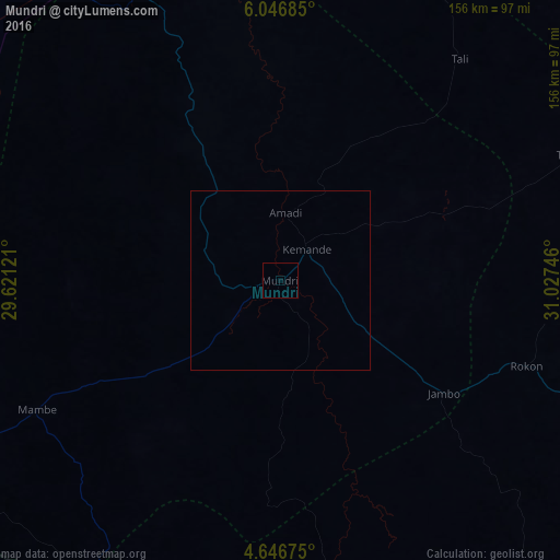
100%Clear (daylight) street map image can be seen on geolist.org.
Map coordinates:
6° 2' 48.7" North, 29° 37' 16.4" East
5° 20' 49.9" North, 30° 19' 27.6" East
4° 38' 48.3" North, 31° 1' 38.9" East
Some cities around Mundri sort by population:
• Juba
149.8 km =93.1 mi,  111°
111°
• Yei
144.7 km =89.9 mi,  164°
164°
• Rumbek
177.3 km =110.2 mi,  336°
336°
• Bor
166.8 km =103.6 mi,  54°
54°
• Maridi
106.1 km =65.9 mi,  243°
243°
• Cueibet
221.5 km =137.6 mi,  327°
327°
• Terekeka
158.3 km =98.4 mi,  86°
86°
• Yirol
135.4 km =84.1 mi,  8°
8°
369717 (p: 0)
Sources (retrieved 2019-11-25):
» Earth at Night: Flat Maps 2012, 2016