Cueibet night lights from space
Night Light of Cueibet (Gok) from space (South Sudan) Src. Average luminocity for 10x10km area is 0% and for 50x50km: 0%.
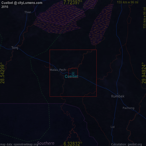
Analysis of Cueibet night lights 2016
Square area 10x10 km:
100  0%
0%
90-99 0%
80-89 0%
70-79 0%
60-69 0%
50-59 0%
40-49 0%
30-39 0%
20-29 0%
10-19 0%
0-9 100%
0%90-99
0%80-89
0%70-79
0%60-69
0%50-59
0%40-49
0%30-39
0%20-29
0%10-19
0%0-9
100%Square area 50x50 km:
100 0%
90-99 0%
80-89 0%
70-79 0%
60-69 0%
50-59 0%
40-49 0%
30-39 0%
20-29 0%
10-19 0%
0-9 100%
0%90-99
0%80-89
0%70-79
0%60-69
0%50-59
0%40-49
0%30-39
0%20-29
0%10-19
0%0-9
100%Clear (daylight) street map image can be seen on geolist.org.
Map coordinates:
7° 43' 26.3" North, 28° 32' 34.8" East
7° 1' 36" North, 29° 14' 46" East
6° 19' 42" North, 29° 56' 57.3" East
Some cities around Cueibet sort by population:
• Wau
157.5 km =97.9 mi,  298°
298°
• Gogrial
209.7 km =130.3 mi,  323°
323°
• Rumbek
53.5 km =33.2 mi,  117°
117°
• Tonj
68.5 km =42.6 mi,  293°
293°
• Leer
172.8 km =107.4 mi,  34°
34°
• Mundri
221.5 km =137.6 mi,  147°
147°
• Kuacjok
199 km =123.7 mi, 315°
• Yirol
147.9 km =91.9 mi,  110°
110°
376967 (p: 0)
Sources (retrieved 2019-11-25):
» Earth at Night: Flat Maps 2012, 2016