Tonj night lights from space
Night Light of Tonj from space (South Sudan) Src. Average luminocity for 10x10km area is 0% and for 50x50km: 0%.
Analysis of Tonj night lights 2016
Square area 10x10 km:
100  0%
0%
90-99 0%
80-89 0%
70-79 0%
60-69 0%
50-59 0%
40-49 0%
30-39 0%
20-29 0%
10-19 0%
0-9 100%
0%90-99
0%80-89
0%70-79
0%60-69
0%50-59
0%40-49
0%30-39
0%20-29
0%10-19
0%0-9
100%Square area 50x50 km:
100 0%
90-99 0%
80-89 0%
70-79 0%
60-69 0%
50-59 0%
40-49 0%
30-39 0%
20-29 0%
10-19 0%
0-9 100%
0%90-99
0%80-89
0%70-79
0%60-69
0%50-59
0%40-49
0%30-39
0%20-29
0%10-19
0%0-9
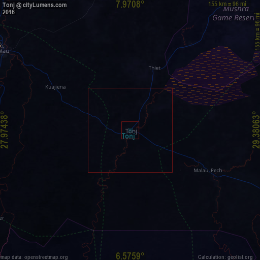
100%Clear (daylight) street map image can be seen on geolist.org.
Map coordinates:
7° 58' 14.9" North, 27° 58' 27.8" East
7° 16' 26" North, 28° 40' 39" East
6° 34' 33.2" North, 29° 22' 50.3" East
Some cities around Tonj sort by population:
• Wau
89.5 km =55.6 mi,  302°
302°
• Gogrial
153.8 km =95.6 mi,  335°
335°
• Rumbek
122 km =75.8 mi,  115°
115°
• Leer
197.7 km =122.8 mi,  54°
54°
• Yirol
216.4 km =134.5 mi,  111°
111°
• Mayen Abun
210.3 km =130.7 mi,  350°
350°
• Kuacjok
137.8 km =85.6 mi,  326°
326°
• Cueibet
68.5 km =42.6 mi, 113°
365763 (p: 17,338)
Sources (retrieved 2019-11-25):
» Earth at Night: Flat Maps 2012, 2016