Kuacjok night lights from space
Night Light of Kuacjok (Gogrial) from space (South Sudan) Src. Average luminocity for 10x10km area is 0.4855% and for 50x50km: 0.0421%.
Analysis of Kuacjok night lights 2016
Square area 10x10 km:
 0.41%
0.41%90-99
0%80-89
0%70-79
0%60-69
0%50-59
0%40-49
0%30-39
0%20-29
0%10-19
0%0-9
99.59%Square area 50x50 km:
0.02%90-99
0.02%80-89
0%70-79
0%60-69
0%50-59
0%40-49
0%30-39
0%20-29
0%10-19
0%0-9
99.97%Clear (daylight) street map image can be seen on geolist.org.
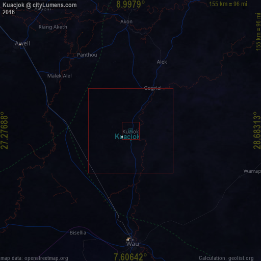
Map coordinates:
8° 59' 52.4" North, 27° 16' 36.8" East
8° 18' 10" North, 27° 58' 48" East
7° 36' 23.1" North, 28° 40' 59.3" East
Some cities around Kuacjok sort by population:
• Winejok
90.8 km =56.4 mi,  330°
330°
• Wau
66.9 km =41.6 mi,  179°
179°
• Aweil
82.4 km =51.2 mi,  308°
308°
• Gogrial
28.8 km =17.9 mi,  27°
27°
• Tonj
137.8 km =85.6 mi,  146°
146°
• Bentiu
226.2 km =140.6 mi,  62°
62°
• Cueibet
199 km =123.7 mi,  135°
135°
• Mayen Abun
101 km =62.8 mi,  23°
23°
371712 (p: 0)
Sources (retrieved 2019-11-25):
» Earth at Night: Flat Maps 2012, 2016