Raja night lights from space
Night Light of Raja (Lol) from space (South Sudan) Src. Average luminocity for 10x10km area is 0% and for 50x50km: 0%.
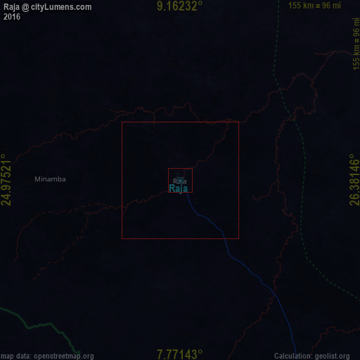
Analysis of Raja night lights 2016
Square area 10x10 km:
 0%
0%90-99
0%80-89
0%70-79
0%60-69
0%50-59
0%40-49
0%30-39
0%20-29
0%10-19
0%0-9
100%Square area 50x50 km:
0%90-99
0%80-89
0%70-79
0%60-69
0%50-59
0%40-49
0%30-39
0%20-29
0%10-19
0%0-9
100%Clear (daylight) street map image can be seen on geolist.org.
Map coordinates:
9° 9' 44.4" North, 24° 58' 30.8" East
8° 28' 3" North, 25° 40' 42" East
7° 46' 17.1" North, 26° 22' 53.3" East
Some cities around Raja sort by population:
• Winejok
216.6 km =134.6 mi,  73°
73°
• El Daein, SD
336.5 km =209.1 mi,  8°
8°
• Wau
268.3 km =166.7 mi,  108°
108°
• Gereida, SD
317.7 km =197.4 mi,  349°
349°
• Aweil
191.2 km =118.8 mi,  80°
80°
• Gogrial
266.4 km =165.5 mi,  88°
88°
• Mayen Abun
302.4 km =187.9 mi, 75°
• Kuacjok
253.8 km =157.7 mi, 94°
368246 (p: 3,700)
Sources (retrieved 2019-11-25):
» Earth at Night: Flat Maps 2012, 2016