Aweil night lights from space
Night Light of Aweil from space (South Sudan) Src. Average luminocity for 10x10km area is 0.4339% and for 50x50km: 0.0177%.

Analysis of Aweil night lights 2016
Square area 10x10 km:
100  0%
0%
90-99 0%
80-89 0%
70-79 0%
60-69 0%
50-59 0.83%
40-49 0%
30-39 0%
20-29 0%
10-19 0%
0-9 99.17%
0%90-99
0%80-89
0%70-79
0%60-69
0%50-59
0.83%40-49
0%30-39
0%20-29
0%10-19
0%0-9
99.17%Square area 50x50 km:
100 0%
90-99 0%
80-89 0%
70-79 0%
60-69 0%
50-59 0.03%
40-49 0%
30-39 0%
20-29 0%
10-19 0%
0-9 99.97%
0%90-99
0%80-89
0%70-79
0%60-69
0%50-59
0.03%40-49
0%30-39
0%20-29
0%10-19
0%0-9
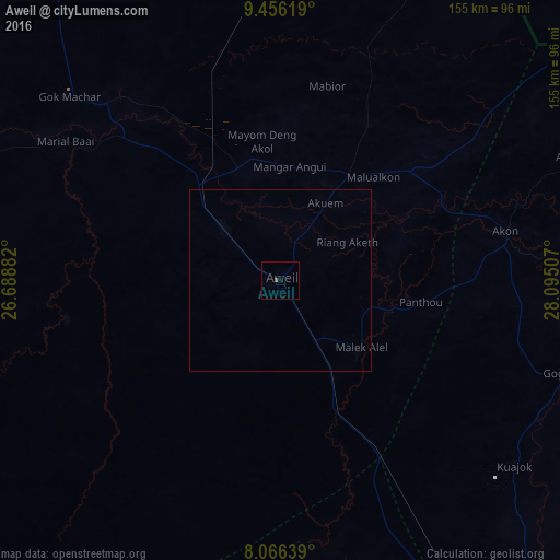
99.97%Clear (daylight) street map image can be seen on geolist.org.
Map coordinates:
9° 27' 22.3" North, 26° 41' 19.8" East
8° 45' 43" North, 27° 23' 31" East
8° 3' 59" North, 28° 5' 42.3" East
Some cities around Aweil sort by population:
• Winejok
34.1 km =21.2 mi,  35°
35°
• Wau
135.1 km =83.9 mi,  150°
150°
• Gogrial
81.9 km =50.9 mi,  108°
108°
• Al Mijlad, SD
255.3 km =158.6 mi,  8°
8°
• Tonj
217.7 km =135.3 mi,  139°
139°
• Raja
191.2 km =118.8 mi,  260°
260°
• Mayen Abun
112.7 km =70 mi,  68°
68°
• Kuacjok
82.4 km =51.2 mi,  128°
128°
364367 (p: 38,745)
Sources (retrieved 2019-11-25):
» Earth at Night: Flat Maps 2012, 2016