Pibor night lights from space
Night Light of Pibor (Boma) from space (South Sudan) Src. Average luminocity for 10x10km area is 0.5931% and for 50x50km: 0.0237%.
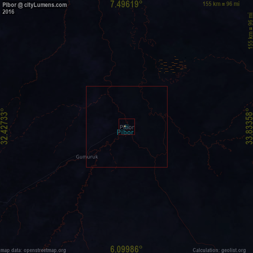
Analysis of Pibor night lights 2016
Square area 10x10 km:
 0%
0%90-99
0%80-89
0%70-79
0%60-69
0.87%50-59
0%40-49
0%30-39
0%20-29
0%10-19
0%0-9
99.13%Square area 50x50 km:
0%90-99
0%80-89
0%70-79
0%60-69
0.03%50-59
0%40-49
0%30-39
0%20-29
0%10-19
0%0-9
99.97%Clear (daylight) street map image can be seen on geolist.org.
Map coordinates:
7° 29' 46.3" North, 32° 25' 38.4" East
6° 47' 54.7" North, 33° 7' 49.6" East
6° 5' 59.5" North, 33° 50' 0.9" East
Some cities around Pibor sort by population:
• Gambēla, ET
227.4 km =141.3 mi,  44°
44°
• Bor
185.6 km =115.3 mi,  249°
249°
• Kapoeta
231 km =143.5 mi,  167°
167°
• Maiwut
219.6 km =136.5 mi,  23°
23°
• Terekeka
214.4 km =133.2 mi,  225°
225°
• Nasir
202.3 km =125.7 mi,  357°
357°
• Waat
187.6 km =116.6 mi,  324°
324°
• Akobo
111.2 km =69.1 mi,  352°
352°
368552 (p: 0)
Sources (retrieved 2019-11-25):
» Earth at Night: Flat Maps 2012, 2016