Yeed night lights from space
Night Light of Yeed (Bakool) from space (Somalia) Src. Average luminocity for 10x10km area is 0% and for 50x50km: 0%.
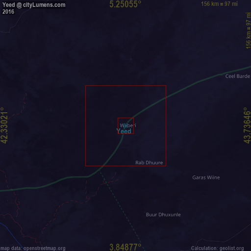
Analysis of Yeed night lights 2016
Square area 10x10 km:
 0%
0%90-99
0%80-89
0%70-79
0%60-69
0%50-59
0%40-49
0%30-39
0%20-29
0%10-19
0%0-9
100%Square area 50x50 km:
0%90-99
0%80-89
0%70-79
0%60-69
0%50-59
0%40-49
0%30-39
0%20-29
0%10-19
0%0-9
100%Clear (daylight) street map image can be seen on geolist.org.
Map coordinates:
5° 15' 2" North, 42° 19' 48.8" East
4° 33' 0" North, 43° 1' 60" East
3° 50' 55.6" North, 43° 44' 11.3" East
Some cities around Yeed sort by population:
• Baidoa
173.7 km =107.9 mi,  156°
156°
• Beledweyne
241.4 km =150 mi,  85°
85°
• Mandera, KE
147.2 km =91.5 mi,  242°
242°
• Luuq
99.2 km =61.6 mi,  213°
213°
• Buurhakaba
226.2 km =140.6 mi,  149°
149°
• Garbahaarrey
163 km =101.3 mi, 213°
• Xuddur
106.2 km =66 mi,  116°
116°
• Waajid
85.6 km =53.2 mi, 163°
49593 (p: 8,429)
Sources (retrieved 2019-11-25):
» Earth at Night: Flat Maps 2012, 2016