Mandera night lights from space
Night Light of Mandera from space (Kenya) Src. Average luminocity for 10x10km area is 7.9459% and for 50x50km: 0.3204%.
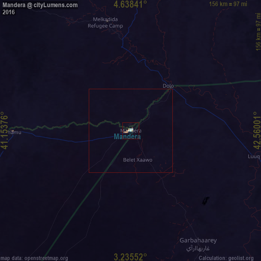
Analysis of Mandera night lights 2016
Square area 10x10 km:
 1.08%
1.08%90-99
1.52%80-89
0.87%70-79
0.87%60-69
1.95%50-59
1.52%40-49
0.87%30-39
0.87%20-29
0%10-19
0%0-9
90.48%Square area 50x50 km:
0.04%90-99
0.06%80-89
0.03%70-79
0.03%60-69
0.08%50-59
0.06%40-49
0.03%30-39
0.03%20-29
0%10-19
0%0-9
99.63%Clear (daylight) street map image can be seen on geolist.org.
Map coordinates:
4° 38' 18.3" North, 41° 9' 13.5" East
3° 56' 14.1" North, 41° 51' 24.8" East
3° 14' 7.9" North, 42° 33' 36" East
Some cities around Mandera sort by population:
• Baidoa, SO
219 km =136.1 mi,  114°
114°
• Baardheere, SO
183.1 km =113.8 mi,  165°
165°
• Luuq, SO
77.7 km =48.3 mi,  101°
101°
• Garbahaarrey, SO
78.8 km =49 mi,  149°
149°
• Xuddur, SO
226.4 km =140.7 mi,  84°
84°
• Yeed, SO
147.2 km =91.5 mi,  62°
62°
• Saacow, SO
264.8 km =164.5 mi, 165°
• Waajid, SO
154.8 km =96.2 mi, 95°
187896 (p: 36,076)
Sources (retrieved 2019-11-25):
» Earth at Night: Flat Maps 2012, 2016