Luuq night lights from space
Night Light of Luuq (Gedo) from space (Somalia) Src. Average luminocity for 10x10km area is 0% and for 50x50km: 0%.
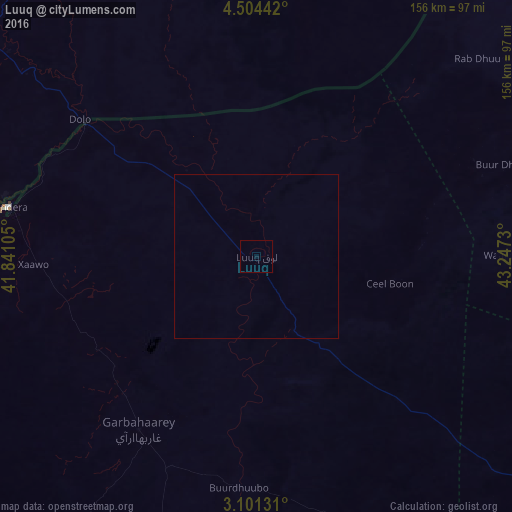
Analysis of Luuq night lights 2016
Square area 10x10 km:
 0%
0%90-99
0%80-89
0%70-79
0%60-69
0%50-59
0%40-49
0%30-39
0%20-29
0%10-19
0%0-9
100%Square area 50x50 km:
0%90-99
0%80-89
0%70-79
0%60-69
0%50-59
0%40-49
0%30-39
0%20-29
0%10-19
0%0-9
100%Clear (daylight) street map image can be seen on geolist.org.
Map coordinates:
4° 30' 15.9" North, 41° 50' 27.8" East
3° 48' 11.3" North, 42° 32' 39" East
3° 6' 4.7" North, 43° 14' 50.3" East
Some cities around Luuq sort by population:
• Baidoa
144.7 km =89.9 mi,  121°
121°
• Baardheere
164.9 km =102.5 mi,  190°
190°
• Mandera, KE
77.7 km =48.3 mi,  281°
281°
• Buurhakaba
203.4 km =126.4 mi, 123°
• Garbahaarrey
63.8 km =39.6 mi,  214°
214°
• Xuddur
153.4 km =95.3 mi,  76°
76°
• Yeed
99.2 km =61.6 mi,  33°
33°
• Waajid
77.9 km =48.4 mi,  89°
89°
54715 (p: 33,820)
Sources (retrieved 2019-11-25):
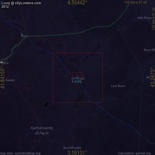
» Earth at Night: Flat Maps 2012, 2016