Waajid night lights from space
Night Light of Waajid (Bakool) from space (Somalia) Src. Average luminocity for 10x10km area is 0% and for 50x50km: 0%.
Analysis of Waajid night lights 2016
Square area 10x10 km:
 0%
0%90-99
0%80-89
0%70-79
0%60-69
0%50-59
0%40-49
0%30-39
0%20-29
0%10-19
0%0-9
100%Square area 50x50 km:
0%90-99
0%80-89
0%70-79
0%60-69
0%50-59
0%40-49
0%30-39
0%20-29
0%10-19
0%0-9
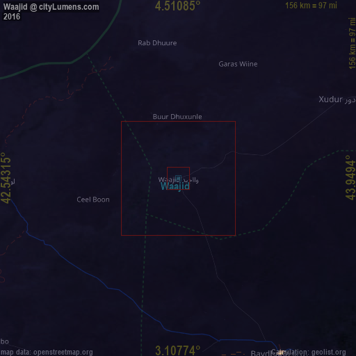
100%Clear (daylight) street map image can be seen on geolist.org.
Map coordinates:
4° 30' 39.1" North, 42° 32' 35.3" East
3° 48' 34.5" North, 43° 14' 46.6" East
3° 6' 27.9" North, 43° 56' 57.8" East
Some cities around Waajid sort by population:
• Baidoa
89.4 km =55.6 mi,  149°
149°
• Baardheere
195.3 km =121.4 mi,  213°
213°
• Mandera, KE
154.8 km =96.2 mi,  275°
275°
• Luuq
77.9 km =48.4 mi,  269°
269°
• Buurhakaba
145.1 km =90.2 mi,  140°
140°
• Garbahaarrey
125.7 km =78.1 mi,  244°
244°
• Xuddur
79.3 km =49.3 mi,  64°
64°
• Yeed
85.6 km =53.2 mi,  343°
343°
50814 (p: 6,666)
Sources (retrieved 2019-11-25):
» Earth at Night: Flat Maps 2012, 2016