Beledweyne night lights from space
Night Light of Beledweyne (Hiiraan) from space (Somalia) Src. Average luminocity for 10x10km area is 0% and for 50x50km: 0%.

Analysis of Beledweyne night lights 2016
Square area 10x10 km:
 0%
0%90-99
0%80-89
0%70-79
0%60-69
0%50-59
0%40-49
0%30-39
0%20-29
0%10-19
0%0-9
100%Square area 50x50 km:
0%90-99
0%80-89
0%70-79
0%60-69
0%50-59
0%40-49
0%30-39
0%20-29
0%10-19
0%0-9
100%Clear (daylight) street map image can be seen on geolist.org.
Map coordinates:
5° 26' 10.2" North, 44° 30' 1.8" East
4° 44' 9" North, 45° 12' 13" East
4° 2' 5.2" North, 45° 54' 24.3" East
Some cities around Beledweyne sort by population:
• Jawhar
219.9 km =136.6 mi,  171°
171°
• Wanlaweyn
237.9 km =147.8 mi,  188°
188°
• Buulobarde
106.1 km =65.9 mi,  157°
157°
• Xuddur
160.9 km =100 mi,  244°
244°
• Jalalaqsi
157.4 km =97.8 mi, 163°
• Ceelbuur
156.8 km =97.4 mi,  92°
92°
• Dhuusamarreeb
158.4 km =98.4 mi,  55°
55°
• Mahaddayweyne
199.5 km =124 mi, 169°
64460 (p: 55,410)
Sources (retrieved 2019-11-25):
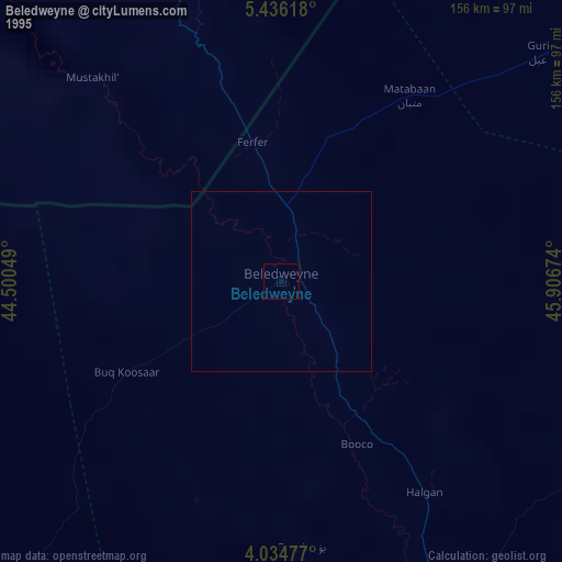
» NASA, Earths city lights 1995
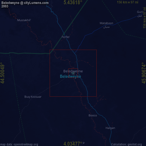
» NASA city lights 2003
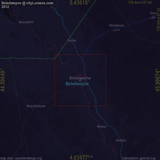
» Earth at Night: Flat Maps 2012, 2016