Garbahaarrey night lights from space
Night Light of Garbahaarrey (Gedo) from space (Somalia) Src. Average luminocity for 10x10km area is 0% and for 50x50km: 0%.
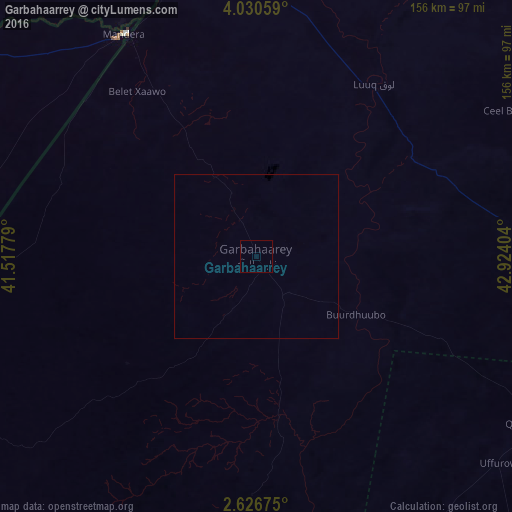
Analysis of Garbahaarrey night lights 2016
Square area 10x10 km:
 0%
0%90-99
0%80-89
0%70-79
0%60-69
0%50-59
0%40-49
0%30-39
0%20-29
0%10-19
0%0-9
100%Square area 50x50 km:
0%90-99
0%80-89
0%70-79
0%60-69
0%50-59
0%40-49
0%30-39
0%20-29
0%10-19
0%0-9
100%Clear (daylight) street map image can be seen on geolist.org.
Map coordinates:
4° 1' 50.1" North, 41° 31' 4" East
3° 19' 44.1" North, 42° 13' 15.3" East
2° 37' 36.3" North, 42° 55' 26.5" East
Some cities around Garbahaarrey sort by population:
• Baidoa
160.4 km =99.7 mi,  98°
98°
• Baardheere
109.6 km =68.1 mi,  176°
176°
• Mandera, KE
78.8 km =49 mi,  329°
329°
• Luuq
63.8 km =39.6 mi,  34°
34°
• Xuddur
205 km =127.4 mi,  64°
64°
• Yeed
163 km =101.3 mi, 33°
• Saacow
190.7 km =118.5 mi,  172°
172°
• Waajid
125.7 km =78.1 mi, 64°
58994 (p: 12,652)
Sources (retrieved 2019-11-25):
» Earth at Night: Flat Maps 2012, 2016