Buurhakaba night lights from space
Night Light of Buurhakaba (Bay) from space (Somalia) Src. Average luminocity for 10x10km area is 0% and for 50x50km: 0%.
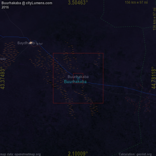
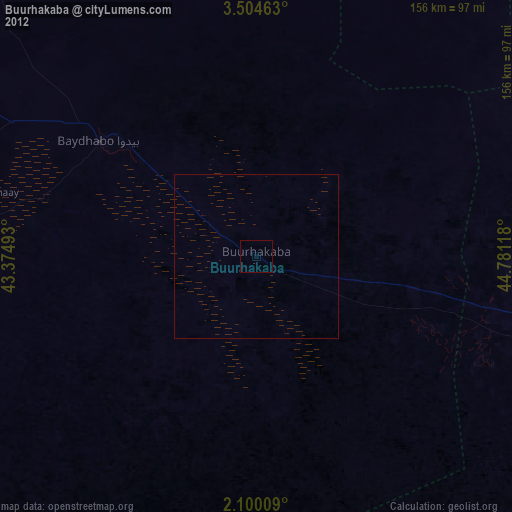
Analysis of Buurhakaba night lights 2016
Square area 10x10 km:
100  0%
0%
90-99 0%
80-89 0%
70-79 0%
60-69 0%
50-59 0%
40-49 0%
30-39 0%
20-29 0%
10-19 0%
0-9 100%
0%90-99
0%80-89
0%70-79
0%60-69
0%50-59
0%40-49
0%30-39
0%20-29
0%10-19
0%0-9
100%Square area 50x50 km:
100 0%
90-99 0%
80-89 0%
70-79 0%
60-69 0%
50-59 0%
40-49 0%
30-39 0%
20-29 0%
10-19 0%
0-9 100%
0%90-99
0%80-89
0%70-79
0%60-69
0%50-59
0%40-49
0%30-39
0%20-29
0%10-19
0%0-9
100%Clear (daylight) street map image can be seen on geolist.org.
Map coordinates:
3° 30' 16.7" North, 43° 22' 29.7" East
2° 48' 9.3" North, 44° 4' 41" East
2° 6' 0.3" North, 44° 46' 52.2" East
Some cities around Buurhakaba sort by population:
• Marka
143.3 km =89 mi,  147°
147°
• Baidoa
58.8 km =36.5 mi,  306°
306°
• Afgooye
137.4 km =85.4 mi,  122°
122°
• Qoryooley
123.5 km =76.7 mi,  156°
156°
• Jawhar
158 km =98.2 mi,  90°
90°
• Wanlaweyn
92.9 km =57.7 mi,  102°
102°
• Xuddur
148.1 km =92 mi,  351°
351°
• Waajid
145.1 km =90.2 mi,  320°
320°
63571 (p: 27,792)
Sources (retrieved 2019-11-25):
» Earth at Night: Flat Maps 2012, 2016