Marka night lights from space
Night Light of Marka (Lower Shabeelle) from space (Somalia) Src. Average luminocity for 10x10km area is 0.1948% and for 50x50km: 0.0078%.
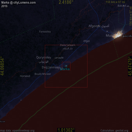
Analysis of Marka night lights 2016
Square area 10x10 km:
 0%
0%90-99
0%80-89
0%70-79
0%60-69
0%50-59
0%40-49
0%30-39
0%20-29
0.87%10-19
0%0-9
99.13%Square area 50x50 km:
0%90-99
0%80-89
0%70-79
0%60-69
0%50-59
0%40-49
0%30-39
0%20-29
0.03%10-19
0%0-9
99.97%Clear (daylight) street map image can be seen on geolist.org.
Map coordinates:
2° 25' 7" North, 44° 4' 6.7" East
1° 42' 57.4" North, 44° 46' 18" East
1° 0' 46.9" North, 45° 28' 29.2" East
Some cities around Marka sort by population:
• Mogadishu
72.9 km =45.3 mi,  60°
60°
• Baidoa
199.2 km =123.8 mi,  321°
321°
• Afgooye
60.9 km =37.8 mi,  39°
39°
• Qoryooley
28 km =17.4 mi,  286°
286°
• Jawhar
143.4 km =89.1 mi,  34°
34°
• Buurhakaba
143.3 km =89 mi,  327°
327°
• Wanlaweyn
101.3 km =62.9 mi,  7°
7°
• Mahaddayweyne
163.4 km =101.5 mi, 31°
54225 (p: 230,100)
Sources (retrieved 2019-11-25):
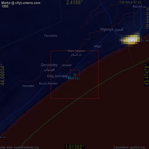
» NASA, Earths city lights 1995
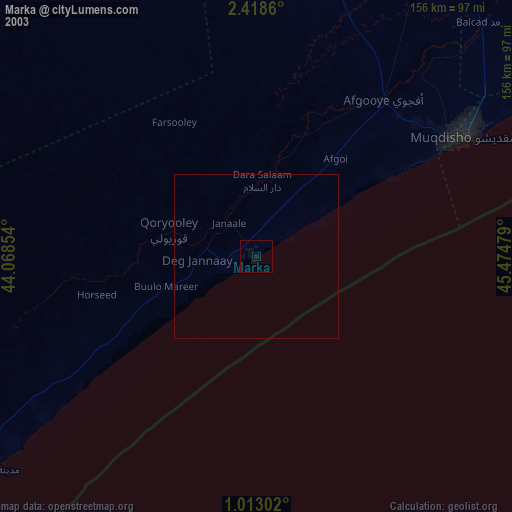
» NASA city lights 2003
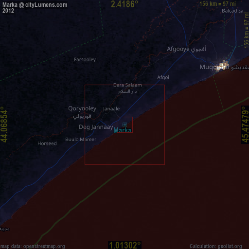
» Earth at Night: Flat Maps 2012, 2016