Mogadishu night lights from space
Night Light of Mogadishu (Banaadir) from space (Somalia) Src. Average luminocity for 10x10km area is 41.0411% and for 50x50km: 2.4854%.
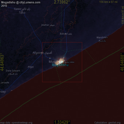
Analysis of Mogadishu night lights 2016
Square area 10x10 km:
 7.79%
7.79%90-99
9.96%80-89
1.3%70-79
4.55%60-69
8.44%50-59
4.76%40-49
8.23%30-39
1.3%20-29
7.14%10-19
29%0-9
17.53%Square area 50x50 km:
0.32%90-99
0.41%80-89
0.07%70-79
0.25%60-69
0.49%50-59
0.32%40-49
0.6%30-39
0.18%20-29
0.43%10-19
2.32%0-9
94.61%Clear (daylight) street map image can be seen on geolist.org.
Map coordinates:
2° 44' 22.6" North, 44° 38' 26.3" East
2° 2' 13.6" North, 45° 20' 37.5" East
1° 20' 3.4" North, 46° 2' 48.8" East
Some cities around Mogadishu sort by population:
• Marka
72.9 km =45.3 mi,  240°
240°
• Afgooye
27.2 km =16.9 mi,  294°
294°
• Qoryooley
94.6 km =58.8 mi,  252°
252°
• Jawhar
84.5 km =52.5 mi,  11°
11°
• Wanlaweyn
81.7 km =50.8 mi,  322°
322°
• Jalalaqsi
151.6 km =94.2 mi, 10°
• Mahaddayweyne
106.2 km =66 mi, 11°
• Cadale
135.2 km =84 mi,  53°
53°
53654 (p: 2,587,183)
Sources (retrieved 2019-11-25):
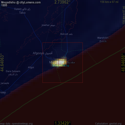
» NASA, Earths city lights 1995
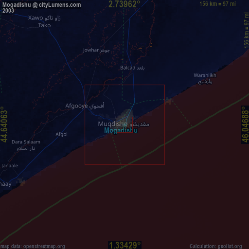
» NASA city lights 2003
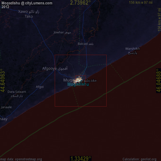
» Earth at Night: Flat Maps 2012, 2016