Mahaddayweyne night lights from space
Night Light of Mahaddayweyne (Middle Shabele) from space (Somalia) Src. Average luminocity for 10x10km area is 0% and for 50x50km: 0.0201%.
Analysis of Mahaddayweyne night lights 2016
Square area 10x10 km:
 0%
0%90-99
0%80-89
0%70-79
0%60-69
0%50-59
0%40-49
0%30-39
0%20-29
0%10-19
0%0-9
100%Square area 50x50 km:
0%90-99
0%80-89
0%70-79
0%60-69
0%50-59
0%40-49
0%30-39
0%20-29
0.07%10-19
0%0-9
99.93%Clear (daylight) street map image can be seen on geolist.org.
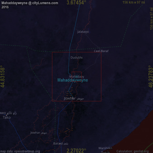
Map coordinates:
3° 40' 28.3" North, 44° 49' 53.7" East
2° 58' 21.4" North, 45° 32' 4.9" East
2° 16' 12.8" North, 46° 14' 16.2" East
Some cities around Mahaddayweyne sort by population:
• Mogadishu
106.2 km =66 mi,  191°
191°
• Afgooye
103.5 km =64.3 mi,  206°
206°
• Jawhar
21.7 km =13.5 mi, 190°
• Buurhakaba
162.9 km =101.2 mi,  263°
263°
• Wanlaweyn
81.3 km =50.5 mi,  241°
241°
• Buulobarde
98 km =60.9 mi,  2°
2°
• Jalalaqsi
45.5 km =28.3 mi,  9°
9°
• Cadale
90.6 km =56.3 mi,  105°
105°
54460 (p: 8,273)
Sources (retrieved 2019-11-25):
» Earth at Night: Flat Maps 2012, 2016