Afgooye night lights from space
Night Light of Afgooye (Lower Shabeelle) from space (Somalia) Src. Average luminocity for 10x10km area is 0.4416% and for 50x50km: 1.9014%.
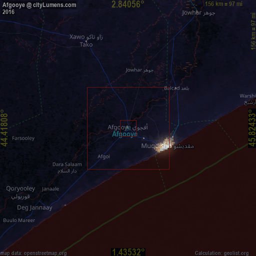
Analysis of Afgooye night lights 2016
Square area 10x10 km:
 0%
0%90-99
0%80-89
0%70-79
0%60-69
0%50-59
0%40-49
0%30-39
0%20-29
1.73%10-19
0%0-9
98.27%Square area 50x50 km:
0.28%90-99
0.38%80-89
0.07%70-79
0.25%60-69
0.36%50-59
0.2%40-49
0.29%30-39
0.14%20-29
0.42%10-19
1.61%0-9
95.99%Clear (daylight) street map image can be seen on geolist.org.
Map coordinates:
2° 50' 26" North, 44° 25' 5.1" East
2° 8' 17.2" North, 45° 7' 16.3" East
1° 26' 7.2" North, 45° 49' 27.6" East
Some cities around Afgooye sort by population:
• Mogadishu
27.2 km =16.9 mi,  114°
114°
• Marka
60.9 km =37.8 mi,  219°
219°
• Qoryooley
76.4 km =47.5 mi,  239°
239°
• Jawhar
83 km =51.6 mi,  30°
30°
• Buurhakaba
137.4 km =85.4 mi,  302°
302°
• Wanlaweyn
59.1 km =36.7 mi,  334°
334°
• Jalalaqsi
147.6 km =91.7 mi,  21°
21°
• Mahaddayweyne
103.5 km =64.3 mi, 26°
65785 (p: 65,461)
Sources (retrieved 2019-11-25):
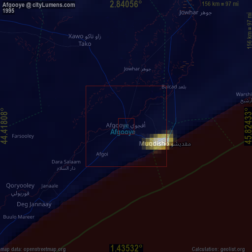
» NASA, Earths city lights 1995
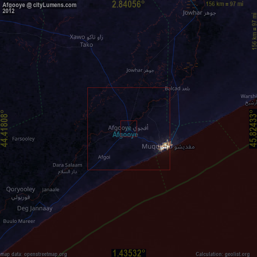
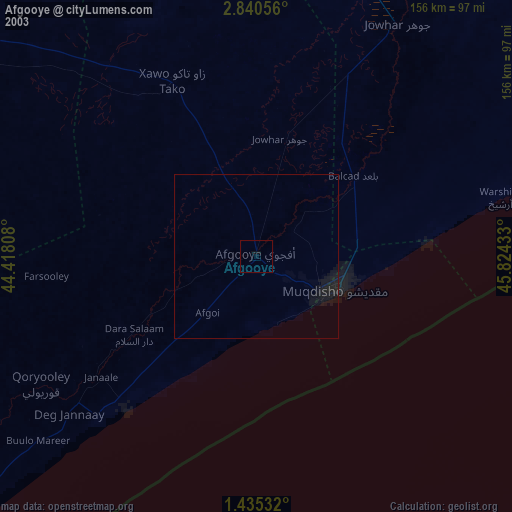
» NASA city lights 2003
» Earth at Night: Flat Maps 2012, 2016