Jawhar night lights from space
Night Light of Jawhar (Middle Shabele) from space (Somalia) Src. Average luminocity for 10x10km area is 0.5022% and for 50x50km: 0.0201%.
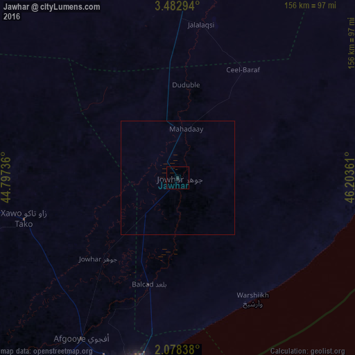
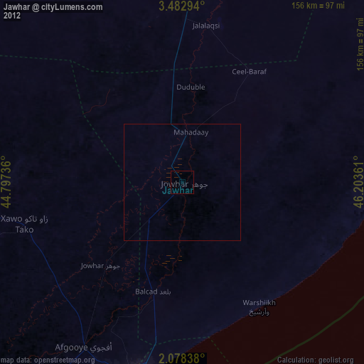
Analysis of Jawhar night lights 2016
Square area 10x10 km:
 0%
0%90-99
0%80-89
0%70-79
0%60-69
0%50-59
0%40-49
0%30-39
0%20-29
1.73%10-19
0%0-9
98.27%Square area 50x50 km:
0%90-99
0%80-89
0%70-79
0%60-69
0%50-59
0%40-49
0%30-39
0%20-29
0.07%10-19
0%0-9
99.93%Clear (daylight) street map image can be seen on geolist.org.
Map coordinates:
3° 28' 58.6" North, 44° 47' 50.5" East
2° 46' 51.1" North, 45° 30' 1.7" East
2° 4' 42.2" North, 46° 12' 13" East
Some cities around Jawhar sort by population:
• Mogadishu
84.5 km =52.5 mi,  191°
191°
• Marka
143.4 km =89.1 mi,  214°
214°
• Afgooye
83 km =51.6 mi, 210°
• Wanlaweyn
69.8 km =43.4 mi,  255°
255°
• Buulobarde
119.5 km =74.3 mi,  3°
3°
• Jalalaqsi
67.1 km =41.7 mi,  9°
9°
• Mahaddayweyne
21.7 km =13.5 mi, 10°
• Cadale
91.3 km =56.7 mi,  91°
91°
56335 (p: 47,086)
Sources (retrieved 2019-11-25):
» Earth at Night: Flat Maps 2012, 2016