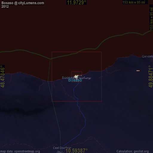
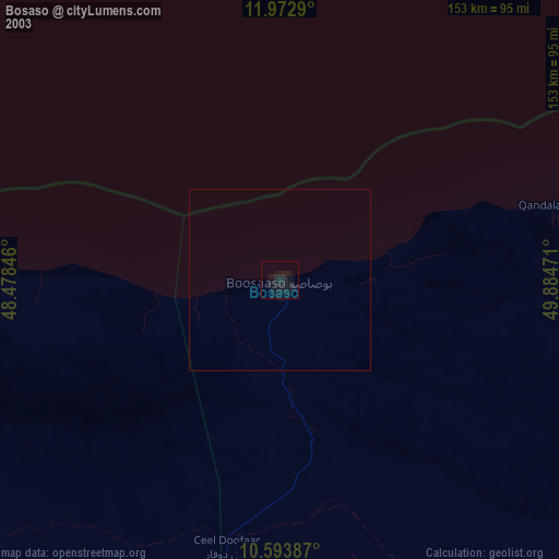
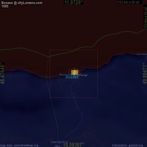
Bosaso night lights from space
Night Light of Bosaso (Bari) from space (Somalia) Src. Average luminocity for 10x10km area is 15.2468% and for 50x50km: 0.672%.

Analysis of Bosaso night lights 2016
Square area 10x10 km:
 1.08%
1.08%90-99
1.3%80-89
2.16%70-79
4.11%60-69
2.16%50-59
2.38%40-49
1.52%30-39
3.03%20-29
1.95%10-19
1.52%0-9
78.79%Square area 50x50 km:
0.04%90-99
0.05%80-89
0.08%70-79
0.16%60-69
0.08%50-59
0.13%40-49
0.09%30-39
0.12%20-29
0.08%10-19
0.06%0-9
99.1%Clear (daylight) street map image can be seen on geolist.org.
Map coordinates:
11° 58' 22.4" North, 48° 28' 42.5" East
11° 17' 3.2" North, 49° 10' 53.7" East
10° 35' 37.9" North, 49° 53' 5" East
Some cities around Bosaso sort by population:
• Ceerigaabo
211.5 km =131.4 mi,  249°
249°
• Qandala
78.2 km =48.6 mi,  74°
74°
• Bandarbeyla
267.2 km =166 mi,  138°
138°
• Bereeda
214.5 km =133.3 mi, 72°
• Las Khorey
108.3 km =67.3 mi,  262°
262°
• Bargaal
206.7 km =128.4 mi,  89°
89°
• Caluula
187.6 km =116.6 mi, 66°
• Iskushuban
159.7 km =99.2 mi,  134°
134°
64013 (p: 74,287)
Sources (retrieved 2019-11-25):
» NASA, Earths city lights 1995
» NASA city lights 2003
» Earth at Night: Flat Maps 2012, 2016