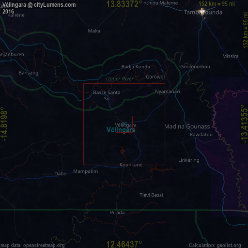
Vélingara night lights from space
Night Light of Vélingara (Kolda) from space (Senegal) Src. Average luminocity for 10x10km area is 0% and for 50x50km: 0%.

Analysis of Vélingara night lights 2016
Square area 10x10 km:
 0%
0%90-99
0%80-89
0%70-79
0%60-69
0%50-59
0%40-49
0%30-39
0%20-29
0%10-19
0%0-9
100%Square area 50x50 km:
0%90-99
0%80-89
0%70-79
0%60-69
0%50-59
0%40-49
0%30-39
0%20-29
0%10-19
0%0-9
100%Clear (daylight) street map image can be seen on geolist.org.
Map coordinates:
13° 50' 1.4" North, 14° 49' 11.3" West
13° 9' 0" North, 14° 7' 0" West
12° 27' 51.7" North, 13° 24' 48.8" West
Some cities around Vélingara sort by population:
• Tambacounda
84.4 km =52.4 mi,  35°
35°
• Kolda
93.8 km =58.3 mi,  252°
252°
• Gabú, GW
97.4 km =60.5 mi,  186°
186°
• Basse Santa Su, GM
20.7 km =12.9 mi,  329°
329°
• Koundara, GN
115.5 km =71.8 mi,  129°
129°
• Sabi, GM
12.9 km =8 mi,  315°
315°
• Bansang, GM
65.8 km =40.9 mi,  298°
298°
• Georgetown, GM
82.4 km =51.2 mi, 301°
2244177 (p: 22,441)
Sources (retrieved 2019-11-25):
» Earth at Night: Flat Maps 2012, 2016