Georgetown night lights from space
Night Light of Georgetown (Central River) from space (Gambia) Src. Average luminocity for 10x10km area is 0% and for 50x50km: 0%.
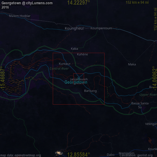
Analysis of Georgetown night lights 2016
Square area 10x10 km:
 0%
0%90-99
0%80-89
0%70-79
0%60-69
0%50-59
0%40-49
0%30-39
0%20-29
0%10-19
0%0-9
100%Square area 50x50 km:
0%90-99
0%80-89
0%70-79
0%60-69
0%50-59
0%40-49
0%30-39
0%20-29
0%10-19
0%0-9
100%Clear (daylight) street map image can be seen on geolist.org.
Map coordinates:
14° 13' 22.7" North, 15° 28' 0.7" West
13° 32' 25.4" North, 14° 45' 49.5" West
12° 51' 21" North, 14° 3' 38.2" West
Some cities around Georgetown sort by population:
• Kolda, SN
74.4 km =46.2 mi,  194°
194°
• Vélingara, SN
82.4 km =51.2 mi,  121°
121°
• Koungheul, SN
49.4 km =30.7 mi,  355°
355°
• Basse Santa Su
64.8 km =40.3 mi,  113°
113°
• Soma
84.1 km =52.3 mi,  261°
261°
• Sabi
69.9 km =43.4 mi, 119°
• Bansang
17.1 km =10.6 mi,  134°
134°
• Mansa Konko
84.2 km =52.3 mi, 262°
2413437 (p: 3,584)
Sources (retrieved 2019-11-25):
» Earth at Night: Flat Maps 2012, 2016