Tambacounda night lights from space
Night Light of Tambacounda from space (Senegal) Src. Average luminocity for 10x10km area is 10.9938% and for 50x50km: 0.4575%.

Analysis of Tambacounda night lights 2016
Square area 10x10 km:
 0.62%
0.62%90-99
2.69%80-89
0.83%70-79
1.65%60-69
0.83%50-59
2.69%40-49
1.45%30-39
2.07%20-29
1.24%10-19
0%0-9
85.95%Square area 50x50 km:
0.02%90-99
0.11%80-89
0.03%70-79
0.07%60-69
0.03%50-59
0.11%40-49
0.06%30-39
0.08%20-29
0.05%10-19
0%0-9
99.44%Clear (daylight) street map image can be seen on geolist.org.
Map coordinates:
14° 27' 9.5" North, 14° 22' 13.7" West
13° 46' 14.6" North, 13° 40' 2.4" West
13° 5' 12.6" North, 12° 57' 51.2" West
Some cities around Tambacounda sort by population:
• Vélingara
84.4 km =52.4 mi,  215°
215°
• Koungheul
124.5 km =77.4 mi,  280°
280°
• Basse Santa Su, GM
78.2 km =48.6 mi,  229°
229°
• Koundara, GN
148.6 km =92.3 mi,  164°
164°
• Youkounkoun, GN
149.9 km =93.1 mi, 156°
• Sabi, GM
83 km =51.6 mi, 223°
• Bansang, GM
112.6 km =70 mi,  250°
250°
• Georgetown, GM
121.2 km =75.3 mi,  257°
257°
2244991 (p: 78,800)
Sources (retrieved 2019-11-25):
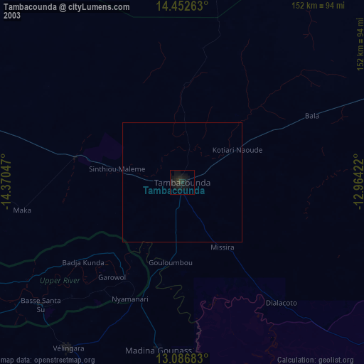
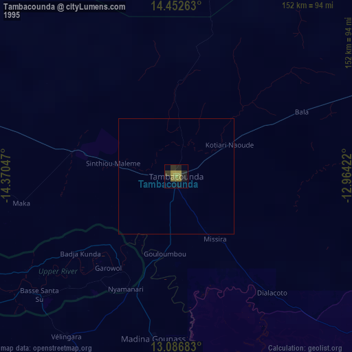
» NASA, Earths city lights 1995
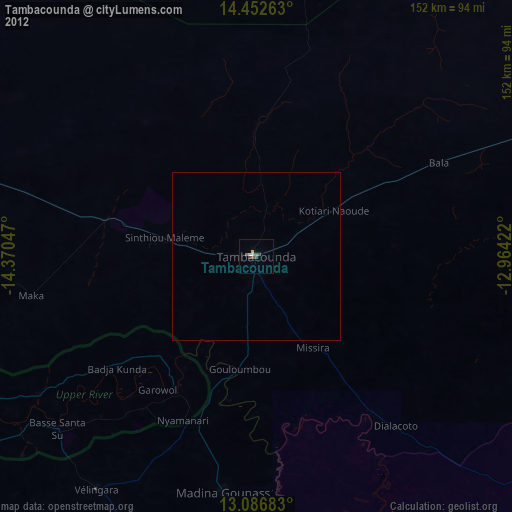
» NASA city lights 2003
» Earth at Night: Flat Maps 2012, 2016