Kolda night lights from space
Night Light of Kolda from space (Senegal) Src. Average luminocity for 10x10km area is 6.9199% and for 50x50km: 0.2752%.
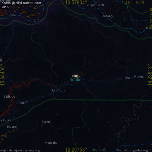
Analysis of Kolda night lights 2016
Square area 10x10 km:
 0%
0%90-99
0%80-89
0%70-79
2.6%60-69
2.38%50-59
1.08%40-49
1.52%30-39
1.95%20-29
1.73%10-19
1.08%0-9
87.66%Square area 50x50 km:
0%90-99
0%80-89
0%70-79
0.1%60-69
0.09%50-59
0.04%40-49
0.06%30-39
0.08%20-29
0.07%10-19
0.04%0-9
99.52%Clear (daylight) street map image can be seen on geolist.org.
Map coordinates:
13° 34' 42" North, 15° 38' 39.8" West
12° 53' 38" North, 14° 56' 28.5" West
12° 12' 27.3" North, 14° 14' 17.3" West
Some cities around Kolda sort by population:
• Bafatá, GW
86.5 km =53.7 mi,  159°
159°
• Sédhiou
69.9 km =43.4 mi,  252°
252°
• Soma, GM
87.8 km =54.6 mi,  313°
313°
• Sabi, GM
88.7 km =55.1 mi,  64°
64°
• Bansang, GM
67.8 km =42.1 mi,  27°
27°
• Farim, GW
54.8 km =34.1 mi,  213°
213°
• Georgetown, GM
74.4 km =46.2 mi,  14°
14°
• Mansa Konko, GM
88.7 km =55.1 mi, 313°
2249782 (p: 58,809)
Sources (retrieved 2019-11-25):
» NASA, Earths city lights 1995
» NASA city lights 2003
» Earth at Night: Flat Maps 2012, 2016