Bansang night lights from space
Night Light of Bansang (Central River) from space (Gambia) Src. Average luminocity for 10x10km area is 0% and for 50x50km: 0%.
Analysis of Bansang night lights 2016
Square area 10x10 km:
 0%
0%90-99
0%80-89
0%70-79
0%60-69
0%50-59
0%40-49
0%30-39
0%20-29
0%10-19
0%0-9
100%Square area 50x50 km:
0%90-99
0%80-89
0%70-79
0%60-69
0%50-59
0%40-49
0%30-39
0%20-29
0%10-19
0%0-9
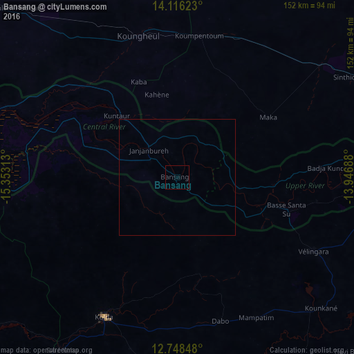
100%Clear (daylight) street map image can be seen on geolist.org.
Map coordinates:
14° 6' 58.4" North, 15° 21' 11.3" West
13° 25' 60" North, 14° 39' 0" West
12° 44' 54.5" North, 13° 56' 48.8" West
Some cities around Bansang sort by population:
• Kolda, SN
67.8 km =42.1 mi,  207°
207°
• Vélingara, SN
65.8 km =40.9 mi,  118°
118°
• Koungheul, SN
63.3 km =39.3 mi,  345°
345°
• Basse Santa Su
49.1 km =30.5 mi,  106°
106°
• Soma
95.5 km =59.3 mi,  270°
270°
• Sabi
53.5 km =33.2 mi, 114°
• Georgetown
17.1 km =10.6 mi,  314°
314°
• Mansa Konko
95.8 km =59.5 mi, 270°
2413866 (p: 7,615)
Sources (retrieved 2019-11-25):
» Earth at Night: Flat Maps 2012, 2016