Sédhiou night lights from space
Night Light of Sédhiou from space (Senegal) Src. Average luminocity for 10x10km area is 0.2857% and for 50x50km: 0.0112%.
Analysis of Sédhiou night lights 2016
Square area 10x10 km:
 0%
0%90-99
0%80-89
0%70-79
0%60-69
0%50-59
0%40-49
0%30-39
0.65%20-29
0.22%10-19
0%0-9
99.13%Square area 50x50 km:
0%90-99
0%80-89
0%70-79
0%60-69
0%50-59
0%40-49
0%30-39
0.03%20-29
0.01%10-19
0%0-9
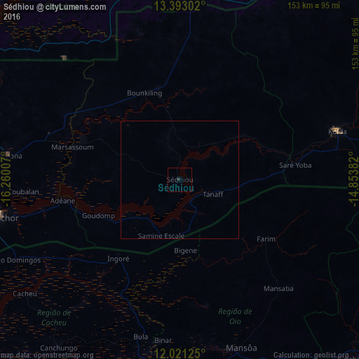
99.97%Clear (daylight) street map image can be seen on geolist.org.
Map coordinates:
13° 23' 34.9" North, 16° 15' 36.3" West
12° 42' 29" North, 15° 33' 25" West
12° 1' 16.5" North, 14° 51' 13.8" West
Some cities around Sédhiou sort by population:
• Ziguinchor
79.3 km =49.3 mi,  258°
258°
• Kolda
69.9 km =43.4 mi,  72°
72°
• Bignona
73.5 km =45.7 mi,  278°
278°
• Bissorã, GW
55.2 km =34.3 mi,  167°
167°
• Soma, GM
80.7 km =50.1 mi,  1°
1°
• Mansôa, GW
75.2 km =46.7 mi,  159°
159°
• Marsassoum
47.8 km =29.7 mi,  286°
286°
• Farim, GW
44.1 km =27.4 mi,  124°
124°
2245704 (p: 19,702)
Sources (retrieved 2019-11-25):
» Earth at Night: Flat Maps 2012, 2016