Bignona night lights from space
Night Light of Bignona (Ziguinchor) from space (Senegal) Src. Average luminocity for 10x10km area is 1.7403% and for 50x50km: 0.1472%.
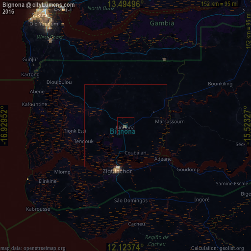
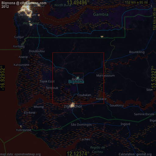
Analysis of Bignona night lights 2016
Square area 10x10 km:
 0%
0%90-99
0%80-89
0%70-79
0%60-69
0%50-59
0.87%40-49
1.3%30-39
1.3%20-29
0%10-19
0%0-9
96.54%Square area 50x50 km:
0%90-99
0%80-89
0%70-79
0%60-69
0%50-59
0.03%40-49
0.08%30-39
0.05%20-29
0.02%10-19
0.02%0-9
99.8%Clear (daylight) street map image can be seen on geolist.org.
Map coordinates:
13° 29' 41.9" North, 16° 55' 46.3" West
12° 48' 37" North, 16° 13' 35" West
12° 7' 25.5" North, 15° 31' 23.8" West
Some cities around Bignona sort by population:
• Ziguinchor
27.4 km =17 mi,  190°
190°
• Brikama, GM
68.8 km =42.8 mi,  318°
318°
• Lamin, GM
64.3 km =40 mi,  339°
339°
• Sédhiou
73.5 km =45.7 mi,  98°
98°
• Gunjur, GM
70.1 km =43.6 mi,  308°
308°
• Cacheu, GW
59.9 km =37.2 mi,  173°
173°
• Tionk Essil
32.1 km =19.9 mi,  265°
265°
• Marsassoum
26.7 km =16.6 mi,  85°
85°
2253901 (p: 26,237)
Sources (retrieved 2019-11-25):
» Earth at Night: Flat Maps 2012, 2016