Marsassoum night lights from space
Night Light of Marsassoum (Kolda) from space (Senegal) Src. Average luminocity for 10x10km area is 0% and for 50x50km: 0.0097%.
Analysis of Marsassoum night lights 2016
Square area 10x10 km:
 0%
0%90-99
0%80-89
0%70-79
0%60-69
0%50-59
0%40-49
0%30-39
0%20-29
0%10-19
0%0-9
100%Square area 50x50 km:
0%90-99
0%80-89
0%70-79
0%60-69
0%50-59
0%40-49
0%30-39
0%20-29
0.02%10-19
0.02%0-9
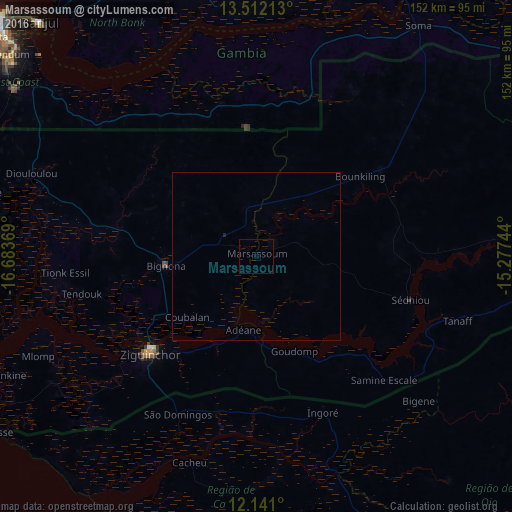
99.97%Clear (daylight) street map image can be seen on geolist.org.
Map coordinates:
13° 30' 43.7" North, 16° 41' 1.3" West
12° 49' 39" North, 15° 58' 50" West
12° 8' 27.6" North, 15° 16' 38.8" West
Some cities around Marsassoum sort by population:
• Ziguinchor
42.9 km =26.7 mi,  227°
227°
• Bignona
26.7 km =16.6 mi,  265°
265°
• Lamin, GM
76.3 km =47.4 mi,  319°
319°
• Sédhiou
47.8 km =29.7 mi,  106°
106°
• Cacheu, GW
64.7 km =40.2 mi,  198°
198°
• Soma, GM
83 km =51.6 mi,  35°
35°
• Tionk Essil
58.9 km =36.6 mi, 265°
• Kerewan, GM
74.6 km =46.4 mi,  350°
350°
2248777 (p: 6,817)
Sources (retrieved 2019-11-25):
» Earth at Night: Flat Maps 2012, 2016