Ziguinchor night lights from space
Night Light of Ziguinchor from space (Senegal) Src. Average luminocity for 10x10km area is 15.5065% and for 50x50km: 0.6457%.
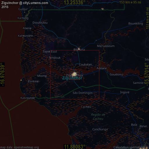
Analysis of Ziguinchor night lights 2016
Square area 10x10 km:
 0%
0%90-99
1.73%80-89
0.43%70-79
4.33%60-69
3.68%50-59
2.81%40-49
2.81%30-39
4.55%20-29
1.73%10-19
2.38%0-9
75.54%Square area 50x50 km:
0%90-99
0.07%80-89
0.02%70-79
0.17%60-69
0.14%50-59
0.11%40-49
0.11%30-39
0.18%20-29
0.07%10-19
0.09%0-9
99.04%Clear (daylight) street map image can be seen on geolist.org.
Map coordinates:
13° 15' 12.1" North, 16° 58' 35" West
12° 34' 4.8" North, 16° 16' 23.7" West
11° 52' 51" North, 15° 34' 12.5" West
Some cities around Ziguinchor sort by population:
• Brikama, GM
88.2 km =54.8 mi,  332°
332°
• Bignona
27.4 km =17 mi,  10°
10°
• Sédhiou
79.3 km =49.3 mi,  78°
78°
• Gunjur, GM
86.4 km =53.7 mi,  324°
324°
• Cacheu, GW
34.7 km =21.6 mi,  160°
160°
• Tionk Essil
36.2 km =22.5 mi,  311°
311°
• Canchungo, GW
61.5 km =38.2 mi,  154°
154°
• Marsassoum
42.9 km =26.7 mi,  47°
47°
2243940 (p: 159,778)
Sources (retrieved 2019-11-25):
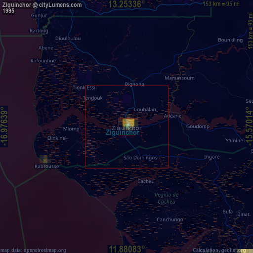
» NASA, Earths city lights 1995
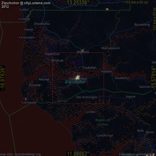
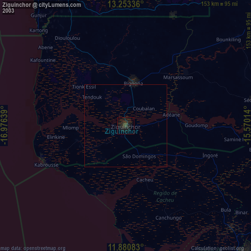
» NASA city lights 2003
» Earth at Night: Flat Maps 2012, 2016