Bissorã night lights from space
Night Light of Bissorã (Oio) from space (Guinea-Bissau) Src. Average luminocity for 10x10km area is 0% and for 50x50km: 0%.
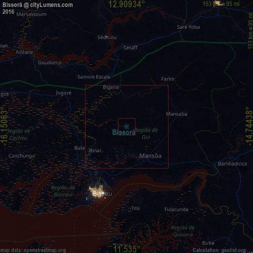
Analysis of Bissorã night lights 2016
Square area 10x10 km:
100  0%
0%
90-99 0%
80-89 0%
70-79 0%
60-69 0%
50-59 0%
40-49 0%
30-39 0%
20-29 0%
10-19 0%
0-9 100%
0%90-99
0%80-89
0%70-79
0%60-69
0%50-59
0%40-49
0%30-39
0%20-29
0%10-19
0%0-9
100%Square area 50x50 km:
100 0%
90-99 0%
80-89 0%
70-79 0%
60-69 0%
50-59 0%
40-49 0%
30-39 0%
20-29 0%
10-19 0%
0-9 100%
0%90-99
0%80-89
0%70-79
0%60-69
0%50-59
0%40-49
0%30-39
0%20-29
0%10-19
0%0-9
100%Clear (daylight) street map image can be seen on geolist.org.
Map coordinates:
12° 54' 33.6" North, 16° 9' 2.3" West
12° 13' 23" North, 15° 26' 51" West
11° 32' 6" North, 14° 44' 39.8" West
Some cities around Bissorã sort by population:
• Bissau
43.2 km =26.8 mi,  202°
202°
• Sédhiou, SN
55.2 km =34.3 mi,  347°
347°
• Bolama
71.9 km =44.7 mi,  182°
182°
• Cacheu
78.2 km =48.6 mi,  274°
274°
• Mansôa
21.7 km =13.5 mi,  139°
139°
• Canchungo
66 km =41 mi,  254°
254°
• Farim
38 km =23.6 mi,  40°
40°
• Quinhámel
58 km =36 mi,  229°
229°
2374759 (p: 12,688)
Sources (retrieved 2019-11-25):
» Earth at Night: Flat Maps 2012, 2016