Mansôa night lights from space
Night Light of Mansôa (Oio) from space (Guinea-Bissau) Src. Average luminocity for 10x10km area is 0% and for 50x50km: 0.0127%.
Analysis of Mansôa night lights 2016
Square area 10x10 km:
100  0%
0%
90-99 0%
80-89 0%
70-79 0%
60-69 0%
50-59 0%
40-49 0%
30-39 0%
20-29 0%
10-19 0%
0-9 100%
0%90-99
0%80-89
0%70-79
0%60-69
0%50-59
0%40-49
0%30-39
0%20-29
0%10-19
0%0-9
100%Square area 50x50 km:
100 0%
90-99 0%
80-89 0%
70-79 0%
60-69 0%
50-59 0%
40-49 0%
30-39 0%
20-29 0%
10-19 0%
0-9 100%
0%90-99
0%80-89
0%70-79
0%60-69
0%50-59
0%40-49
0%30-39
0%20-29
0%10-19
0%0-9
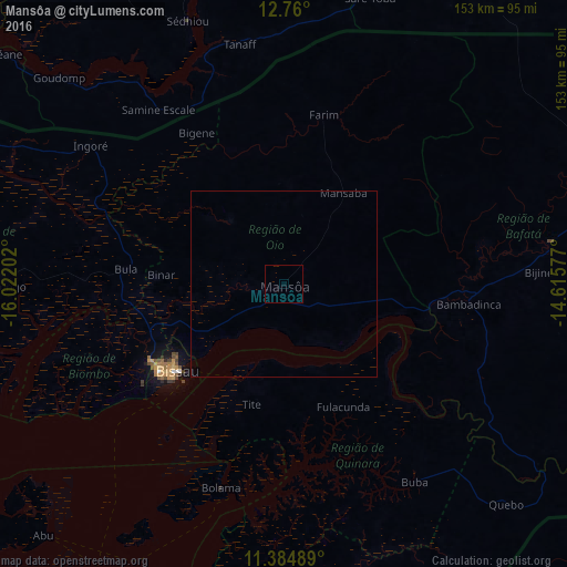
100%Clear (daylight) street map image can be seen on geolist.org.
Map coordinates:
12° 45' 36" North, 16° 1' 19.3" West
12° 4' 24" North, 15° 19' 8" West
11° 23' 5.6" North, 14° 36' 56.8" West
Some cities around Mansôa sort by population:
• Bissau
38.3 km =23.8 mi,  232°
232°
• Bafatá
72.2 km =44.9 mi,  81°
81°
• Sédhiou, SN
75.2 km =46.7 mi,  339°
339°
• Bissorã
21.7 km =13.5 mi,  319°
319°
• Bolama
57.8 km =35.9 mi,  197°
197°
• Buba
64.3 km =40 mi,  146°
146°
• Farim
46.9 km =29.1 mi,  13°
13°
• Quinhámel
61.9 km =38.5 mi,  250°
250°
2371467 (p: 7,821)
Sources (retrieved 2019-11-25):
» Earth at Night: Flat Maps 2012, 2016