Kaffrine night lights from space
Night Light of Kaffrine from space (Senegal) Src. Average luminocity for 10x10km area is 2.1926% and for 50x50km: 0.0845%.
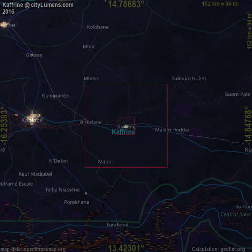
Analysis of Kaffrine night lights 2016
Square area 10x10 km:
 0%
0%90-99
0%80-89
0%70-79
0%60-69
1.73%50-59
0%40-49
1.52%30-39
1.08%20-29
0%10-19
0%0-9
95.67%Square area 50x50 km:
0%90-99
0%80-89
0%70-79
0%60-69
0.07%50-59
0%40-49
0.06%30-39
0.04%20-29
0%10-19
0%0-9
99.83%Clear (daylight) street map image can be seen on geolist.org.
Map coordinates:
14° 47' 12.6" North, 16° 15' 14.1" West
14° 6' 21.4" North, 15° 33' 2.9" West
13° 25' 22.8" North, 14° 50' 51.6" West
Some cities around Kaffrine sort by population:
• Kaolack
56.5 km =35.1 mi,  275°
275°
• Farafenni, GM
60.2 km =37.4 mi,  185°
185°
• Nioro du Rip
47.8 km =29.7 mi,  214°
214°
• Guinguinéo
46.6 km =29 mi,  292°
292°
• Ndofane
46.3 km =28.8 mi,  242°
242°
• Soma, GM
74.8 km =46.5 mi,  178°
178°
• Passi
78.4 km =48.7 mi,  259°
259°
• Mansa Konko, GM
73.7 km =45.8 mi, 178°
2251007 (p: 28,396)
Sources (retrieved 2019-11-25):
» Earth at Night: Flat Maps 2012, 2016