Guinguinéo night lights from space
Night Light of Guinguinéo (Fatick) from space (Senegal) Src. Average luminocity for 10x10km area is 0.4589% and for 50x50km: 1.3233%.
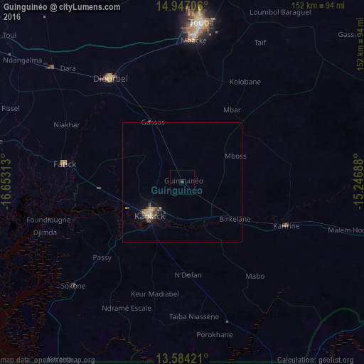
Analysis of Guinguinéo night lights 2016
Square area 10x10 km:
 0%
0%90-99
0%80-89
0%70-79
0%60-69
0%50-59
0%40-49
0.87%30-39
0%20-29
0%10-19
0%0-9
99.13%Square area 50x50 km:
0.02%90-99
0.15%80-89
0.14%70-79
0.29%60-69
0.16%50-59
0.23%40-49
0.42%30-39
0.09%20-29
0.16%10-19
0.83%0-9
97.52%Clear (daylight) street map image can be seen on geolist.org.
Map coordinates:
14° 56' 49.4" North, 16° 39' 11.3" West
14° 16' 0" North, 15° 57' 0" West
13° 35' 3.2" North, 15° 14' 48.8" West
Some cities around Guinguinéo sort by population:
• Kaolack
18.4 km =11.4 mi,  226°
226°
• Tiébo
50.9 km =31.6 mi,  323°
323°
• Kaffrine
46.6 km =29 mi,  112°
112°
• Pourham
51.1 km =31.8 mi,  280°
280°
• Ndofane
39 km =24.2 mi,  177°
177°
• Gandiaye
34.3 km =21.3 mi,  263°
263°
• Passi
46.5 km =28.9 mi, 227°
• Fatick
49.6 km =30.8 mi, 278°
2251230 (p: 15,395)
Sources (retrieved 2019-11-25):
» Earth at Night: Flat Maps 2012, 2016