Kaolack night lights from space
Night Light of Kaolack from space (Senegal) Src. Average luminocity for 10x10km area is 28.8506% and for 50x50km: 1.3556%.
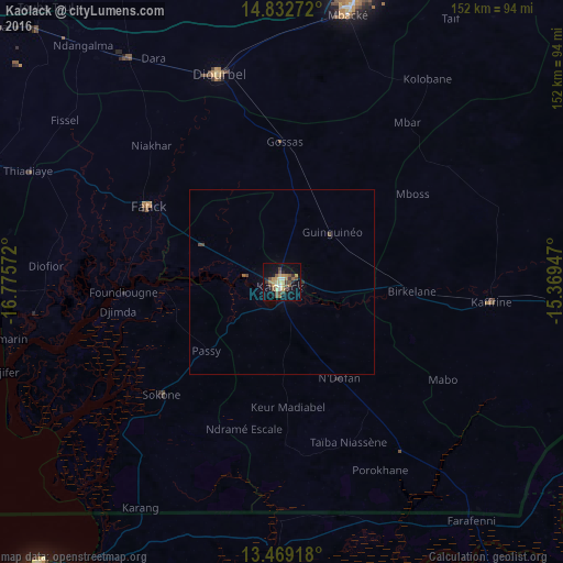
Analysis of Kaolack night lights 2016
Square area 10x10 km:
 0.43%
0.43%90-99
3.9%80-89
3.68%70-79
7.58%60-69
3.25%50-59
5.84%40-49
9.09%30-39
2.38%20-29
3.25%10-19
21.21%0-9
39.39%Square area 50x50 km:
0.02%90-99
0.15%80-89
0.14%70-79
0.29%60-69
0.16%50-59
0.23%40-49
0.48%30-39
0.1%20-29
0.16%10-19
0.83%0-9
97.45%Clear (daylight) street map image can be seen on geolist.org.
Map coordinates:
14° 49' 57.8" North, 16° 46' 32.6" West
14° 9' 7.1" North, 16° 4' 21.3" West
13° 28' 9" North, 15° 22' 10.1" West
Some cities around Kaolack sort by population:
• Pourham
43.1 km =26.8 mi,  300°
300°
• Guinguinéo
18.4 km =11.4 mi,  46°
46°
• Sokone
43.6 km =27.1 mi,  226°
226°
• Ndofane
30.2 km =18.8 mi,  150°
150°
• Gandiaye
22.8 km =14.2 mi,  293°
293°
• Passi
28.1 km =17.5 mi, 228°
• Foundiougne
42.5 km =26.4 mi,  267°
267°
• Fatick
41.1 km =25.5 mi, 299°
2250805 (p: 172,305)
Sources (retrieved 2019-11-25):
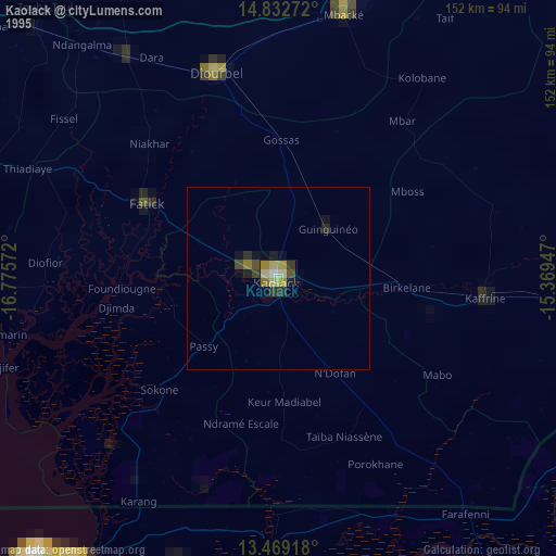
» NASA, Earths city lights 1995
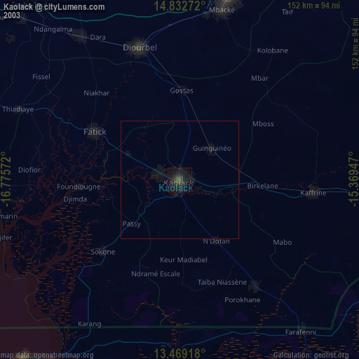
» NASA city lights 2003
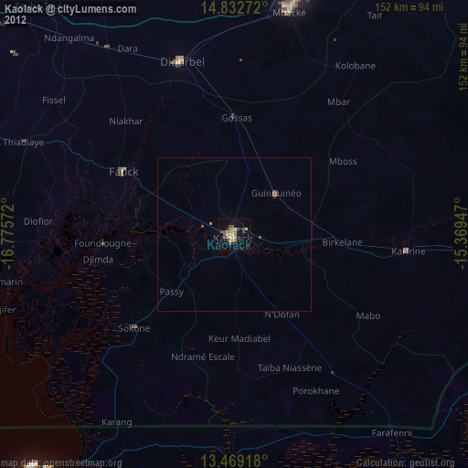
» Earth at Night: Flat Maps 2012, 2016