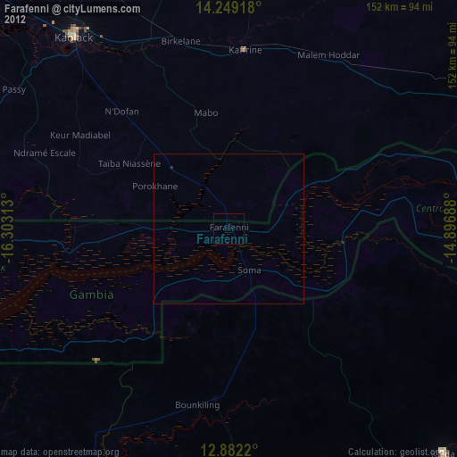
Farafenni night lights from space
Night Light of Farafenni (North Bank) from space (Gambia) Src. Average luminocity for 10x10km area is 0% and for 50x50km: 0.0166%.
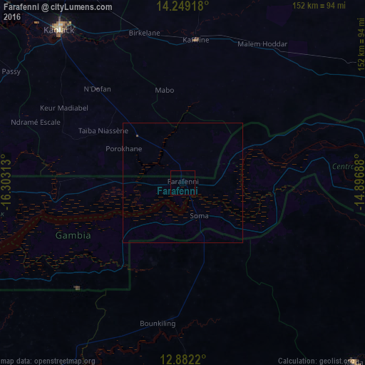
Analysis of Farafenni night lights 2016
Square area 10x10 km:
 0%
0%90-99
0%80-89
0%70-79
0%60-69
0%50-59
0%40-49
0%30-39
0%20-29
0%10-19
0%0-9
100%Square area 50x50 km:
0%90-99
0%80-89
0%70-79
0%60-69
0%50-59
0%40-49
0.03%30-39
0%20-29
0%10-19
0%0-9
99.97%Clear (daylight) street map image can be seen on geolist.org.
Map coordinates:
14° 14' 57" North, 16° 18' 11.3" West
13° 34' 0" North, 15° 36' 0" West
12° 52' 55.9" North, 14° 53' 48.8" West
Some cities around Farafenni sort by population:
• Kaolack, SN
82.7 km =51.4 mi,  321°
321°
• Kaffrine, SN
60.2 km =37.4 mi,  5°
5°
• Nioro du Rip, SN
29.7 km =18.5 mi,  313°
313°
• Ndofane, SN
53 km =32.9 mi, 317°
• Soma
16.5 km =10.3 mi,  154°
154°
• Passi, SN
85.6 km =53.2 mi,  302°
302°
• Kerewan
53.5 km =33.2 mi,  260°
260°
• Mansa Konko
15.4 km =9.6 mi, 153°
2413515 (p: 29,867)
Sources (retrieved 2019-11-25):
» Earth at Night: Flat Maps 2012, 2016