Nioro du Rip night lights from space
Night Light of Nioro du Rip (Kaolack) from space (Senegal) Src. Average luminocity for 10x10km area is 0.4153% and for 50x50km: 0.0293%.
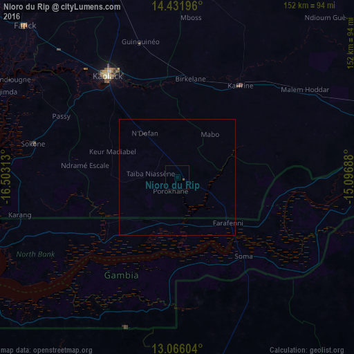
Analysis of Nioro du Rip night lights 2016
Square area 10x10 km:
 0%
0%90-99
0%80-89
0%70-79
0%60-69
0%50-59
0%40-49
0.83%30-39
0%20-29
0%10-19
0%0-9
99.17%Square area 50x50 km:
0%90-99
0%80-89
0%70-79
0%60-69
0%50-59
0%40-49
0.03%30-39
0%20-29
0%10-19
0.07%0-9
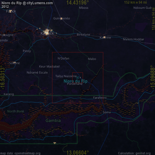
99.9%Clear (daylight) street map image can be seen on geolist.org.
Map coordinates:
14° 25' 55.1" North, 16° 30' 11.3" West
13° 45' 0" North, 15° 48' 0" West
13° 3' 57.7" North, 15° 5' 48.8" West
Some cities around Nioro du Rip sort by population:
• Kaolack
53.5 km =33.2 mi,  326°
326°
• Farafenni, GM
29.7 km =18.5 mi,  133°
133°
• Kaffrine
47.8 km =29.7 mi,  34°
34°
• Ndofane
23.5 km =14.6 mi,  322°
322°
• Soma, GM
45.5 km =28.3 mi,  140°
140°
• Passi
56.7 km =35.2 mi,  297°
297°
• Kerewan, GM
42.6 km =26.5 mi,  227°
227°
• Mansa Konko, GM
44.5 km =27.7 mi, 140°
2247157 (p: 20,711)
Sources (retrieved 2019-11-25):
» Earth at Night: Flat Maps 2012, 2016