Brikama night lights from space
Night Light of Brikama (Western) from space (Gambia) Src. Average luminocity for 10x10km area is 6% and for 50x50km: 5.47%.
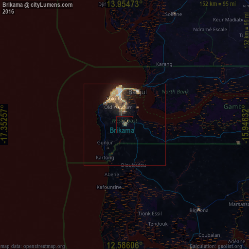
Analysis of Brikama night lights 2016
Square area 10x10 km:
 0%
0%90-99
0%80-89
0%70-79
0%60-69
0.21%50-59
2.27%40-49
3.51%30-39
1.45%20-29
2.48%10-19
2.07%0-9
88.02%Square area 50x50 km:
0.23%90-99
0.57%80-89
0.68%70-79
1.32%60-69
0.92%50-59
0.79%40-49
1.23%30-39
0.63%20-29
1.59%10-19
4.21%0-9
87.83%Clear (daylight) street map image can be seen on geolist.org.
Map coordinates:
13° 57' 17" North, 17° 21' 9.3" West
13° 16' 16.9" North, 16° 38' 58" West
12° 35' 9.8" North, 15° 56' 46.8" West
Some cities around Brikama sort by population:
• Serekunda
18.8 km =11.7 mi,  350°
350°
• Bakau
23.3 km =14.5 mi, 351°
• Banjul
21.6 km =13.4 mi,  20°
20°
• Lamin
25 km =15.5 mi,  68°
68°
• Sukuta
16.7 km =10.4 mi,  337°
337°
• Gunjur
12 km =7.5 mi,  229°
229°
• Abuko
14.8 km =9.2 mi,  357°
357°
• Barra
26.1 km =16.2 mi,  25°
25°
2413753 (p: 77,700)
Sources (retrieved 2019-11-25):
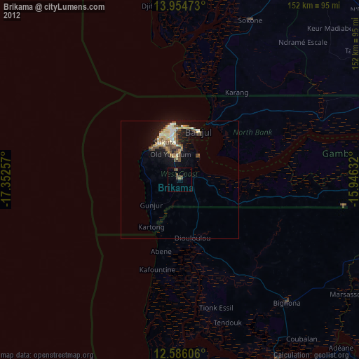
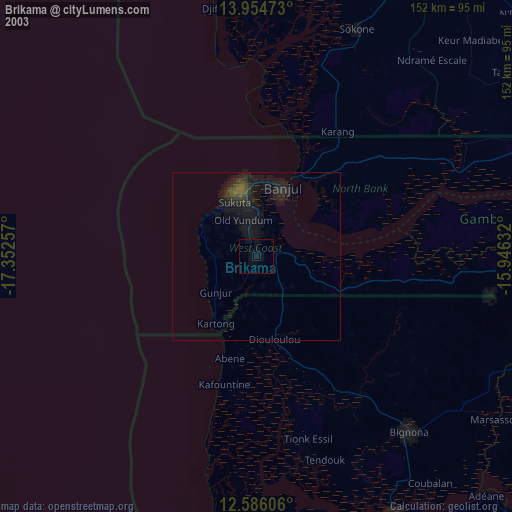
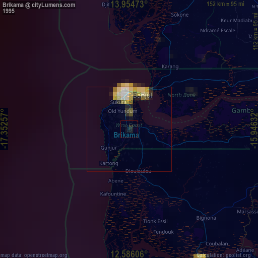
» NASA, Earths city lights 1995
» NASA city lights 2003
» Earth at Night: Flat Maps 2012, 2016