Tionk Essil night lights from space
Night Light of Tionk Essil (Ziguinchor) from space (Senegal) Src. Average luminocity for 10x10km area is 0% and for 50x50km: 0.0613%.
Analysis of Tionk Essil night lights 2016
Square area 10x10 km:
 0%
0%90-99
0%80-89
0%70-79
0%60-69
0%50-59
0%40-49
0%30-39
0%20-29
0%10-19
0%0-9
100%Square area 50x50 km:
0%90-99
0%80-89
0%70-79
0%60-69
0.02%50-59
0%40-49
0.02%30-39
0.03%20-29
0.02%10-19
0%0-9
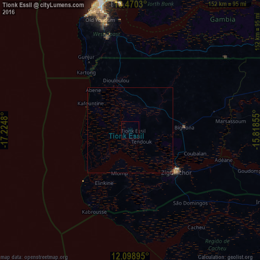
99.92%Clear (daylight) street map image can be seen on geolist.org.
Map coordinates:
13° 28' 13.1" North, 17° 13' 29.3" West
12° 47' 8" North, 16° 31' 18" West
12° 5' 56.2" North, 15° 49' 6.8" West
Some cities around Tionk Essil sort by population:
• Ziguinchor
36.2 km =22.5 mi,  131°
131°
• Brikama, GM
55.8 km =34.7 mi,  345°
345°
• Bignona
32.1 km =19.9 mi,  85°
85°
• Lamin, GM
63.7 km =39.6 mi,  8°
8°
• Gunjur, GM
51.7 km =32.1 mi,  333°
333°
• Cacheu, GW
68.7 km =42.7 mi,  145°
145°
• Marsassoum
58.9 km =36.6 mi, 85°
• Abuko, GM
70.3 km =43.7 mi, 348°
2244436 (p: 8,151)
Sources (retrieved 2019-11-25):
» Earth at Night: Flat Maps 2012, 2016