Trebišov night lights from space
Night Light of Trebišov (Košický kraj) from space (Slovakia) Src. Average luminocity for 10x10km area is 6.372% and for 50x50km: 0.942%.
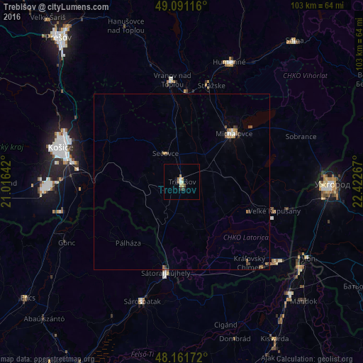
Analysis of Trebišov night lights 2016
Square area 10x10 km:
 0.89%
0.89%90-99
0.89%80-89
1.04%70-79
0.3%60-69
1.64%50-59
1.04%40-49
0.3%30-39
1.04%20-29
0.6%10-19
0.6%0-9
91.67%Square area 50x50 km:
0.07%90-99
0.11%80-89
0.1%70-79
0.14%60-69
0.19%50-59
0.17%40-49
0.14%30-39
0.18%20-29
0.08%10-19
0.07%0-9
98.77%Clear (daylight) street map image can be seen on geolist.org.
Map coordinates:
49° 5' 28.2" North, 21° 0' 59.1" East
48° 37' 42.9" North, 21° 43' 10.3" East
48° 9' 42.2" North, 22° 25' 21.6" East
Some cities around Trebišov sort by population:
• Košice
35.2 km =21.9 mi,  285°
285°
• Michalovce
20.3 km =12.6 mi,  46°
46°
• Vranov nad Topľou
29 km =18 mi,  354°
354°
• Sátoraljaújhely, HU
26.4 km =16.4 mi,  189°
189°
• Sárospatak, HU
35.5 km =22.1 mi,  197°
197°
• Chlmec
32.9 km =20.4 mi,  29°
29°
• Sečovce
9.1 km =5.7 mi,  331°
331°
• Sobrance
36.3 km =22.6 mi,  69°
69°
723358 (p: 22,947)
Sources (retrieved 2019-11-25):
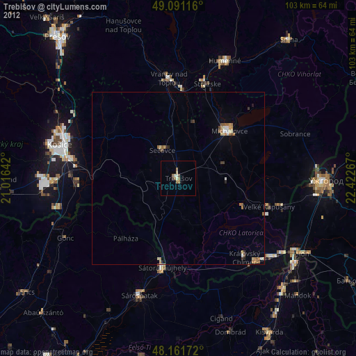
» Earth at Night: Flat Maps 2012, 2016