Vitanje night lights from space
Night Light of Vitanje from space (Slovenia) Src. Average luminocity for 10x10km area is 0.369% and for 50x50km: 4.5341%.
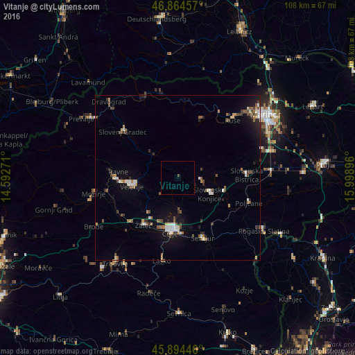
Analysis of Vitanje night lights 2016
Square area 10x10 km:
100  0%
0%
90-99 0%
80-89 0%
70-79 0%
60-69 0%
50-59 0%
40-49 0.6%
30-39 0%
20-29 0%
10-19 0%
0-9 99.4%
0%90-99
0%80-89
0%70-79
0%60-69
0%50-59
0%40-49
0.6%30-39
0%20-29
0%10-19
0%0-9
99.4%Square area 50x50 km:
100 0.44%
90-99 0.78%
80-89 0.32%
70-79 0.37%
60-69 0.54%
50-59 0.66%
40-49 0.89%
30-39 0.65%
20-29 0.78%
10-19 2.81%
0-9 91.78%
0.44%90-99
0.78%80-89
0.32%70-79
0.37%60-69
0.54%50-59
0.66%40-49
0.89%30-39
0.65%20-29
0.78%10-19
2.81%0-9
91.78%Clear (daylight) street map image can be seen on geolist.org.
Map coordinates:
46° 51' 52.5" North, 14° 35' 33.8" East
46° 22' 54" North, 15° 17' 45" East
45° 53' 40.1" North, 15° 59' 56.3" East
Some cities around Vitanje sort by population:
• Celje
17 km =10.6 mi,  189°
189°
• Velenje
14.5 km =9 mi,  260°
260°
• Slovenske Konjice
11.2 km =7 mi,  116°
116°
• Zreče
6.4 km =4 mi,  89°
89°
• Vojnik
9.8 km =6.1 mi,  176°
176°
• Mislinja
9.9 km =6.2 mi,  312°
312°
• Oplotnica
11.6 km =7.2 mi, 86°
• Dobrna
7.2 km =4.5 mi,  227°
227°
3187598 (p: 865)
Sources (retrieved 2019-11-25):
» Earth at Night: Flat Maps 2012, 2016