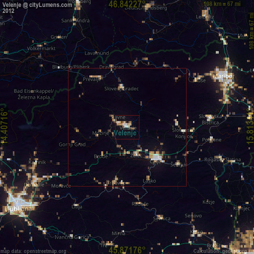
Velenje night lights from space
Night Light of Velenje from space (Slovenia) Src. Average luminocity for 10x10km area is 14.5565% and for 50x50km: 3.9164%.
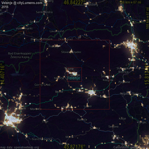
Analysis of Velenje night lights 2016
Square area 10x10 km:
 2.83%
2.83%90-99
3.72%80-89
1.19%70-79
1.19%60-69
1.34%50-59
0.45%40-49
1.19%30-39
0.6%20-29
0.74%10-19
4.46%0-9
82.29%Square area 50x50 km:
0.42%90-99
0.65%80-89
0.31%70-79
0.31%60-69
0.43%50-59
0.76%40-49
0.72%30-39
0.53%20-29
0.65%10-19
1.92%0-9
93.3%Clear (daylight) street map image can be seen on geolist.org.
Map coordinates:
46° 50' 32.2" North, 14° 24' 25.8" East
46° 21' 33" North, 15° 6' 37" East
45° 52' 18.3" North, 15° 48' 48.3" East
Some cities around Velenje sort by population:
• Žalec
12.7 km =7.9 mi,  160°
160°
• Šoštanj
5.3 km =3.3 mi,  296°
296°
• Polzela
9.1 km =5.7 mi,  201°
201°
• Mozirje
11.5 km =7.1 mi,  258°
258°
• Mislinja
11.5 km =7.1 mi,  37°
37°
• Šmartno ob Paki
6.6 km =4.1 mi,  244°
244°
• Dobrna
9.2 km =5.7 mi,  105°
105°
• Braslovče
9.5 km =5.9 mi,  215°
215°
3189075 (p: 25,456)
Sources (retrieved 2019-11-25):
» Earth at Night: Flat Maps 2012, 2016