Slovenske Konjice night lights from space
Night Light of Slovenske Konjice (Slovenska Konjice) from space (Slovenia) Src. Average luminocity for 10x10km area is 7.3065% and for 50x50km: 6.0048%.
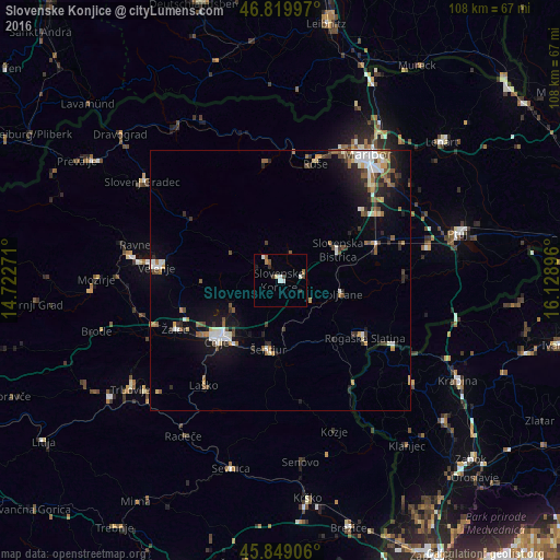
Analysis of Slovenske Konjice night lights 2016
Square area 10x10 km:
 1.04%
1.04%90-99
2.08%80-89
0.45%70-79
0%60-69
1.19%50-59
0.6%40-49
1.19%30-39
1.64%20-29
0.74%10-19
0.6%0-9
90.48%Square area 50x50 km:
0.8%90-99
1.14%80-89
0.41%70-79
0.52%60-69
0.74%50-59
0.89%40-49
0.88%30-39
0.8%20-29
1.58%10-19
3.5%0-9
88.74%Clear (daylight) street map image can be seen on geolist.org.
Map coordinates:
46° 49' 11.9" North, 14° 43' 21.8" East
46° 20' 12" North, 15° 25' 33" East
45° 50' 56.6" North, 16° 7' 44.3" East
Some cities around Slovenske Konjice sort by population:
• Šentjur
13.5 km =8.4 mi,  189°
189°
• Zreče
6.2 km =3.9 mi,  324°
324°
• Vojnik
10.6 km =6.6 mi,  242°
242°
• Šmarje pri Jelšah
14.1 km =8.8 mi,  149°
149°
• Oplotnica
5.9 km =3.7 mi,  15°
15°
• Poljčane
12.1 km =7.5 mi,  103°
103°
• Vitanje
11.2 km =7 mi,  296°
296°
• Dobrna
15.3 km =9.5 mi,  270°
270°
3190530 (p: 4,869)
Sources (retrieved 2019-11-25):
» Earth at Night: Flat Maps 2012, 2016