Jamestown night lights from space
Night Light of Jamestown (Saint Helena) from space (Saint Helena) Src. Average luminocity for 10x10km area is 10.4545% and for 50x50km: 0.6986%.
Analysis of Jamestown night lights 2016
Square area 10x10 km:
 0%
0%90-99
0.65%80-89
1.08%70-79
3.46%60-69
1.52%50-59
3.25%40-49
0.87%30-39
1.08%20-29
4.11%10-19
0%0-9
83.98%Square area 50x50 km:
0%90-99
0.06%80-89
0.1%70-79
0.17%60-69
0.14%50-59
0.12%40-49
0.03%30-39
0.11%20-29
0.22%10-19
0.04%0-9
99.01%Clear (daylight) street map image can be seen on geolist.org.
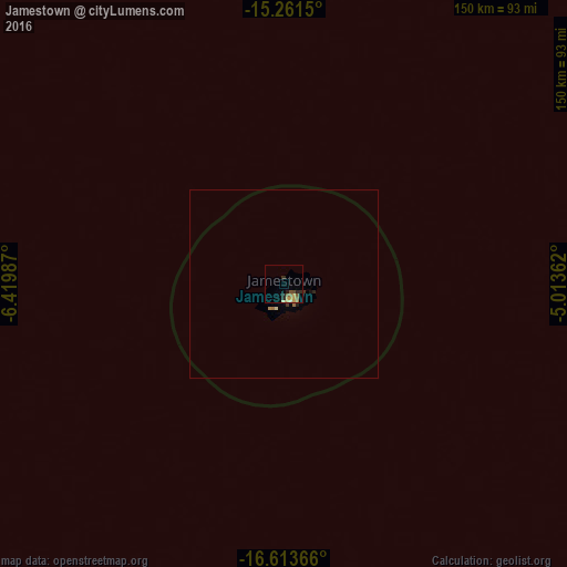
Map coordinates:
15° 15' 41.4" South, 6° 25' 11.5" West
15° 56' 19.4" South, 5° 43' 0.3" West
16° 36' 49.2" South, 5° 0' 49" West
Some cities around Jamestown sort by population:
• Lobito, AO
2112.5 km =1312.6 mi,  79°
79°
• Benguela, AO
2093.4 km =1300.8 mi, 79°
• Lubango, AO
2061.3 km =1280.8 mi,  86°
86°
• Namibe, AO
1915.2 km =1190.1 mi, 87°
• Catumbela, AO
2112 km =1312.3 mi, 79°
• Opuwo, NA
2091.8 km =1299.8 mi,  96°
96°
• San Antonio de Palé, GQ
2039.1 km =1267 mi,  37°
37°
• Georgetown
1298.6 km =806.9 mi,  313°
313°
3370903 (p: 637)
Sources (retrieved 2019-11-25):
» Earth at Night: Flat Maps 2012, 2016